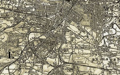
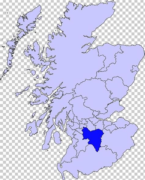
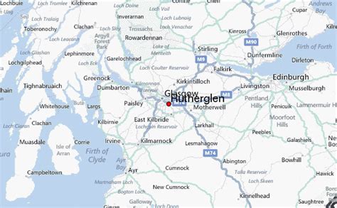
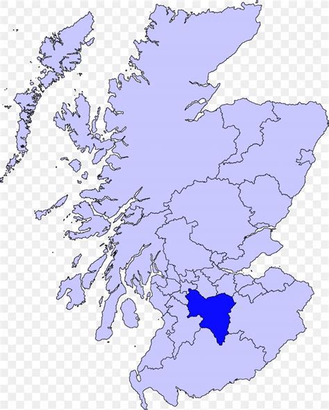
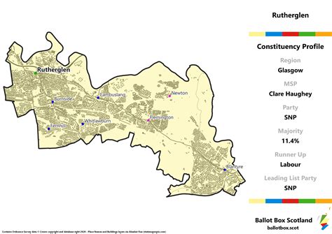
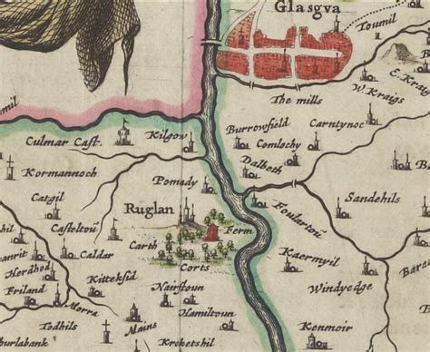
Rutherglen (, Scots: Ruglen, Scottish Gaelic: An Ruadh-Ghleann) is a town in South Lanarkshire, Scotland, immediately south-east of the city of Glasgow, three miles (five kilometres) from its centre and directly south of the River Clyde. Having existed as a Lanarkshire burgh in its own right for more than 800 years, in 1975 Rutherglen lost its own local council and administratively became a component of the City of Glasgow District within the Strathclyde region (along with neighbouring Cambuslang). In 1996 the towns were reallocated to the South Lanarkshire council area.