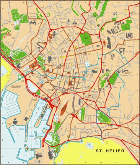
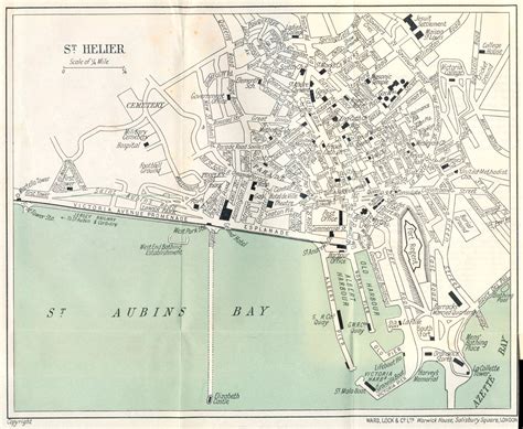
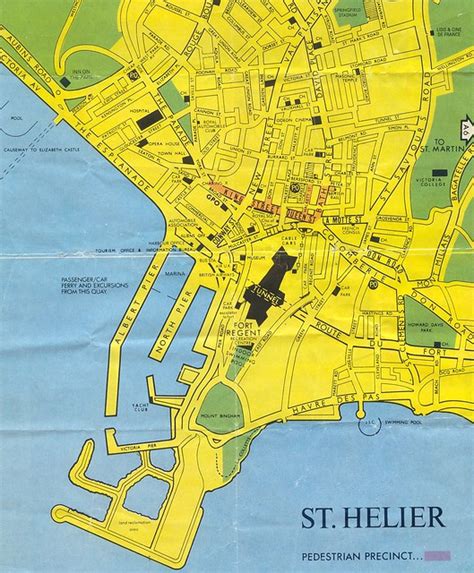
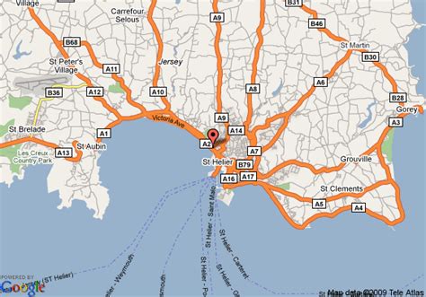
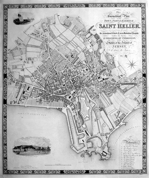
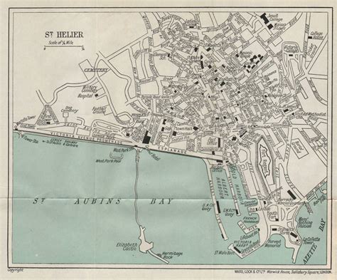
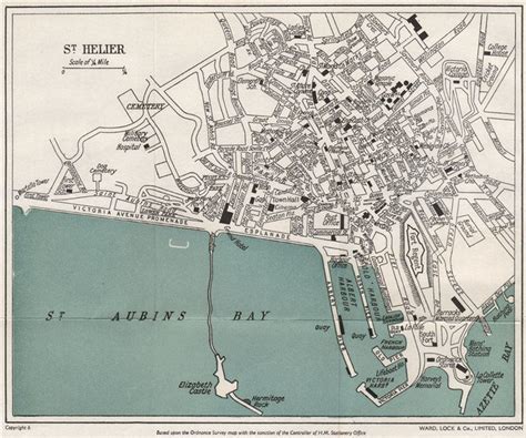
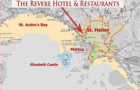
Location: Saint Helier 🌎
Location: Saint Helier, Jersey
Administration Region:
Population: 33522
ISO2 Code:
ISO3 Code: JEY
Location Type: Primary Capital
Latitude: 49.1858
Longitude: -2.11
St Helier (; Jèrriais: Saint Hélyi; French: Saint-Hélier) is one of the twelve parishes of Jersey, the largest of the Channel Islands in the English Channel. St Helier has a population of 35,822 – over one-third of the total population of Jersey – and is the capital of the island. The town of St Helier is the largest settlement and only town of Jersey. The town consists of the built-up areas of St Helier, including First Tower, and parts of the parishes of St Saviour and St Clement, with further suburbs in surrounding parishes. The greater part of St Helier is rural.
The parish covers a surface area of 4.1 sq mi (10.6 km2), being 9% of the total land area of the island (this includes reclaimed land area of 494 acres (2.00 km2) or 200 ha). The growth of the town has been described as “spasmodic”, its expansion reflecting waves of migration to the island. The parish arms are two crossed gold axes on a blue background, the blue symbolising the sea, and the axes symbolising the martyrdom of Helier at the hands of Saxon pirates in 555 AD.

Top Saint Helier HD Maps, Free Download 🗺️
Map
Maps
United States
United States
World Map
China
China

