Location: Saitama 🌎
Location: Saitama, Japan
Administration Region: Saitama
Population: 1325843
ISO2 Code: Saitama
ISO3 Code: JPN
Location Type: First-level Admin Capital
Latitude: 35.8614
Longitude: 139.6456
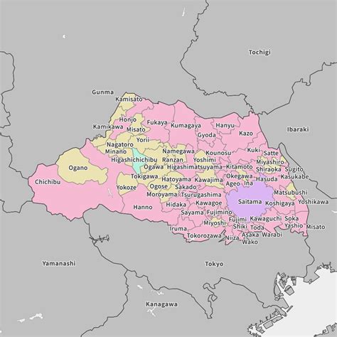
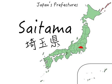
Saitama (さいたま市, Saitama-shi, pronounced [saꜜitama]) is the capital and the most populous city of Saitama Prefecture, Japan. Its area incorporates the former cities of Urawa, Ōmiya, Yono and Iwatsuki. It is a city designated by government ordinance. Being in the Greater Tokyo Area and lying 15 to 30 kilometres north of central Tokyo, many of its residents commute into Tokyo. As of 1 February 2021, the city had an estimated population of 1,324,854, and a population density of 6,093 people per km² (15,781 people per mi²). Its total area is 217.43 square kilometres (83.95 sq mi).

Top Saitama HD Maps, Free Download 🗺️
Map
Maps
United States
United States
World Map
China
China


