Location: Salvatierra 🌎
Location: Salvatierra, Mexico
Administration Region: Guanajuato
Population: 37203
ISO2 Code: Guanajuato
ISO3 Code: MEX
Location Type: Lower-level Admin Capital
Latitude: 20.2156
Longitude: -100.8961
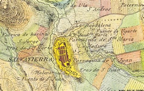
Salvatierra (Spanish: [salβaˈtjera] ) is a Mexican city (and municipality) located in the valley of Huatzindeo in the lowlands of the state of Guanajuato. It is rich in civil and religious architecture; haciendas, bridges, convents and large houses surrounded in tradition and history. With an area of 507.70 square kilometres, Salvatierra accounts for 1.66% the total area of the state. It is bordered to the north by Tarimoro and Cortazar, to the south by Acámbaro and the state of Michoacán, to the west by Yuriria and Santiago Maravatío, and to the northeast by Jaral del Progreso. The municipality had a total of 94,558 inhabitants of which 34,066 lived in the city of Salvatierra, according to the 2005 census. As of 2020 the municipality had a total of 94,126 inhabitants, compared to 2010, the population in Salvatierra decreased by -3.02%In pre-Columbian times the area was known as Huatzindeo (or Guatzindeo) which means “Place of beautiful vegetation” by the mostly Purépecha inhabitants. In 1646 Salvatierra became the first city of Guanajuato, thus making it the oldest city in the state. Salvatierra was declared a pueblo magico in 2012 by the Mexican government.

Top Salvatierra HD Maps, Free Download 🗺️
Map
Maps
United States
United States
World Map
China
China