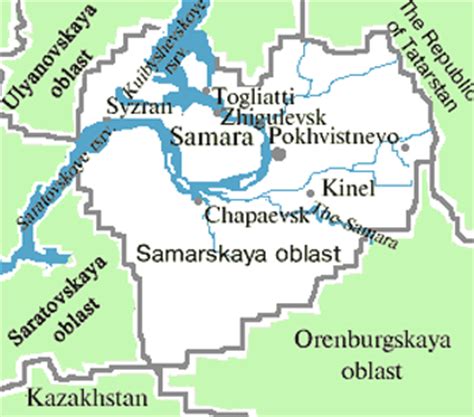
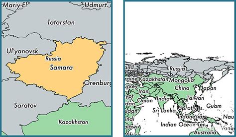
Samara (Russian: Сама́ра, IPA: [sɐˈmarə]), known from 1935 to 1991 as Kuybyshev (Куйбышев; IPA: [ˈkujbɨʂɨf]), is the largest city and administrative centre of Samara Oblast in Russia. The city is located at the confluence of the Volga and the Samara rivers, with a population of over 1.14 million residents, up to 1.22 million residents in the urban agglomeration, not including Novokuybyshevsk, which is not conurbated. The city covers an area of 541.382 square kilometers (209.029 sq mi), and is the eighth-largest city in Russia and tenth agglomeration, the third-most populous city on the Volga, as well as the Volga Federal District.
Formerly a closed city, Samara is now a large and important social, political, economic, industrial, and cultural centre in Russia and hosted the European Union—Russia Summit in May 2007. It has a continental climate characterised by hot summers and cold winters. The life of Samara’s citizens has always been intrinsically linked to the Volga River, which has not only served as the main commercial thoroughfare of Russia throughout several centuries, but also has great visual appeal. Samara’s riverfront is one of the main recreation sites for both local citizens and tourists.