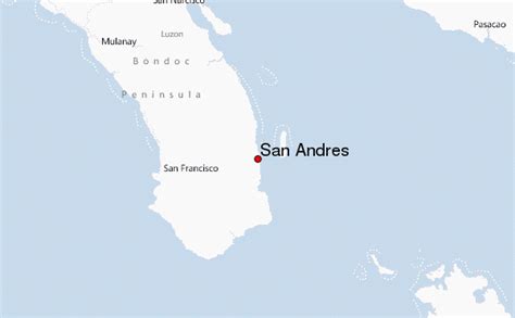
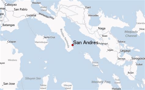
Location: San Andres 🌎
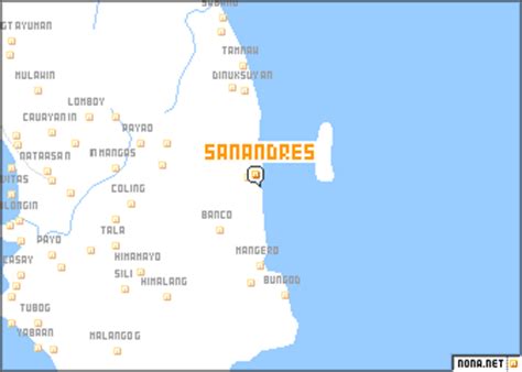
Location: San Andres, Philippines Administration Region: Rizal Population: 128499 ISO2 Code: Rizal ISO3 Code: PHL Location Type: Latitude: 14.5739 Longitude: 121.0039
San Andres (also San Andres Bukid, bukid being the Tagalog for “farm” or “[rice] field”) is a district of Manila, Philippines. San Andres shares the Estero Tripa de Gallina as its western and northern border with the districts of Malate and Paco, respectively and Pedro Gil and Tejeron streets to the east with the district of Santa Ana. It borders the cities of Pasay and Makati in the south. The area is under the jurisdiction of the Fifth Congressional District of Manila, and includes the Manila South Cemetery, an exclave of the city surrounded by land administered by Makati.

Top San Andres HD Maps, Free Download 🗺️
Map
Maps
United States
United States
World Map
China
China