Location: San Dionisio 🌎
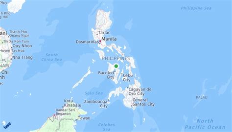
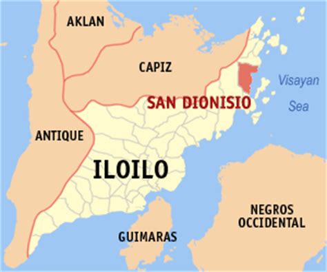
Location: San Dionisio, Philippines
Administration Region: Parañaque
Population: 63506
ISO2 Code: Parañaque
ISO3 Code: PHL
Location Type:
Latitude:
Longitude:
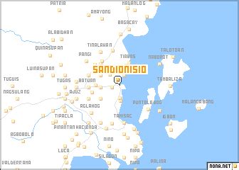
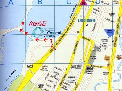
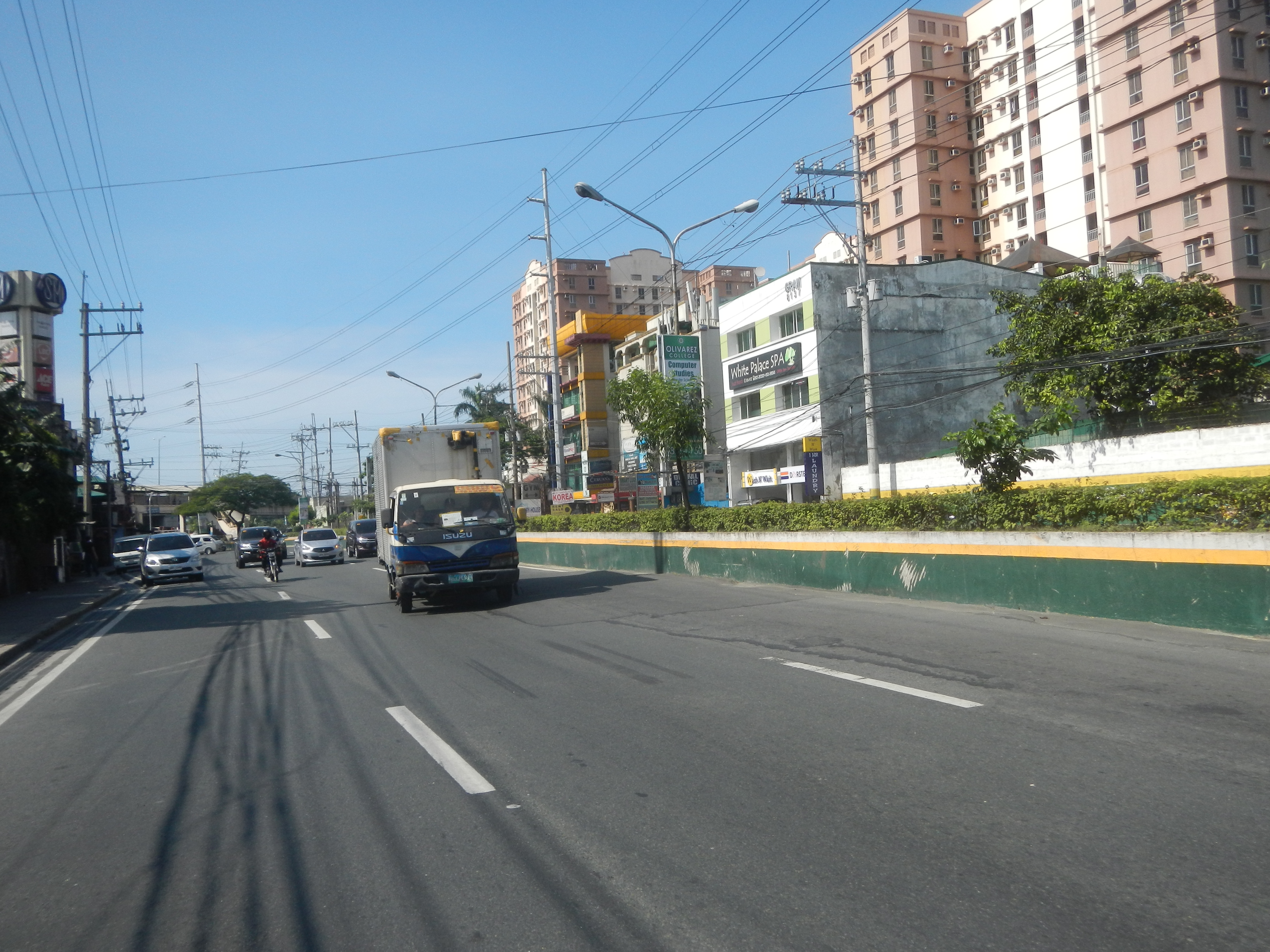
San Dionisio is an administrative division in southern Metro Manila, Philippines. It is a barangay at the southwestern edge of Parañaque and north of its border with Manuyo, Las Piñas. The barangay is centered on the westernmost section of Dr. Santos Avenue (former Sucat Road) where it veers north and parallels Elpidio Quirino Avenue (former Calle Real) with De Leon Street and Aldana Avenue forming its boundaries with La Huerta and Manuyo Uno respectively. It extends to the east along the San Dionisio River-Villanueva Creek by barangay Moonwalk to the north and along Balong Creek by Manuyo Dos, Las Piñas to the south towards its border with San Isidro. San Dionisio includes a large swath of the C-5 Road South Extension properties in Parañaque including the Amvel Business Park, Avida Sucat and SM City Sucat sites, the Irasan Complex logistics hub, and as well as the area surrounding the Evacom Plaza. It also covers a significant portion of the reclaimed Freedom and Long Islands in the Las Piñas–Parañaque Critical Habitat and Ecotourism Area.
San Dionisio is the second largest barangay in Parañaque in terms of land area and the third largest in terms of population. It is often mistakenly referred to as Sucat being the location of SM City Sucat shopping mall on the former Sucat Road. This erroneous reference is also applied to the other barangays traversed by Sucat Road. Sucat, however, is a barangay of Muntinlupa located at the opposite end of Sucat Road by the South Luzon Expressway. As of the 2015 census, San Dionisio had a population of 63,506.
Top San Dionisio HD Maps, Free Download 🗺️
Map
Maps
United States
United States
World Map
China
China

