Location: San Lucas Tolimán 🌎
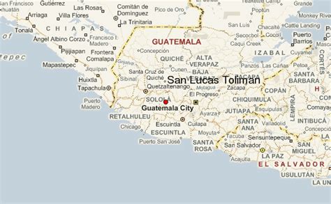
Location: San Lucas Tolimán, Guatemala
Administration Region: Sololá
Population: 31805
ISO2 Code: Sololá
ISO3 Code: GTM
Location Type: Lower-level Admin Capital
Latitude: 14.6333
Longitude: -91.1333
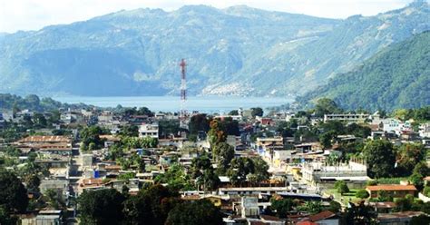
San Lucas Tolimán is a municipality in the Sololá department of Guatemala. The town of 17,000 people sits on the southeastern shore of Lago de Atitlán. The population is 90–95% Highland Maya. There is a population of about the same size living in the surrounding villages.
At 1,700 metres (5,600 ft) altitude the town offers “eternal spring” with annual temperatures ranging from 50 to 80 degrees F. The dry season runs from November through June/July (called “summer” locally) and the rainy season runs the other six months (“winter”). The area is free of malaria due to its elevation. The area’s elevation ranges from 1,562 metres (5,125 ft) along the lake to 3,144 metres (10,315 ft) at the summit of Volcán Tolimán. Volcán Tolimán is just west of town.
Top San Lucas Tolimán HD Maps, Free Download 🗺️
Map
Maps
United States
United States
World Map
China
China

