Location: San Martín de los Andes 🌎
Location: San Martín de los Andes, Argentina
Administration Region: Neuquén
Population: 27956
ISO2 Code: Neuquén
ISO3 Code: ARG
Location Type: Lower-level Admin Capital
Latitude: -40.1667
Longitude: -71.35
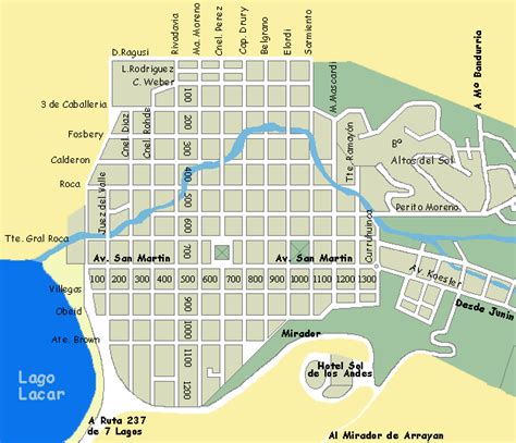
San Martín de los Andes is a city in the south-west of the province of Neuquén, Argentina, serving as the administration centre of the Lácar Department. Lying at the foot of the Andes, on the Lácar lake, it is considered one of the main tourism destinations in the province. The National Route 40 runs to the city, connecting it with important touristic points in the south of the province, such as Lanín and Nahuel Huapí national parks.
The city was founded in 1898 as a military outpost to secure the Argentinian sovereignty over the area. The economy of the then-mountain village was based on wood logging and husbandry until the opening of the Lanín National Park in 1937, when tourism became the main industry. Migration from different parts of the world, such as Europe and the Middle East, as well as from neighboring Chile and other Argentine provinces, contributed to the population growth.

Top San Martín de los Andes HD Maps, Free Download 🗺️
Map
Maps
United States
United States
World Map
China
China