Location: Santa Fe 🌎
Location: Santa Fe, Argentina
Administration Region: Santa Fe
Population: 405683
ISO2 Code: Santa Fe
ISO3 Code: ARG
Location Type: First-level Admin Capital
Latitude: -31.6333
Longitude: -60.7
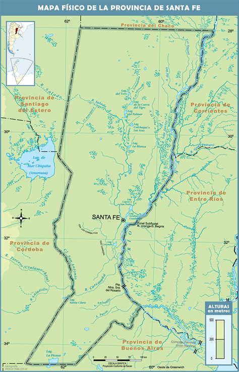
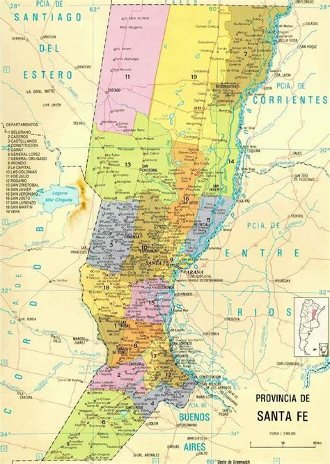
Santa Fe de la Vera Cruz (Spanish pronunciation: [ˈsanta ˈfe ðe la ˈβeɾa ˈkɾus]; usually called just Santa Fe) is the capital city of the province of Santa Fe, Argentina. It is situated in north-eastern Argentina, near the junction of the Paraná and Salado rivers. It lies 15 kilometres (9.3 mi) from the Hernandarias Subfluvial Tunnel that connects it to the city of Paraná. The city is also connected by canal with the port of Colastiné on the Paraná River. Santa Fe de la Vera Cruz has about 391,164 inhabitants per the 2010 census [INDEC]. The metropolitan area has a population of 653,073, making it the eighth largest in Argentina. The third largest city in Argentina is Rosario, also located in Santa Fe Province.
Santa Fe de la Vera Cruz is linked to Rosario (170 km (106 mi) to the south), the largest city in the province, by the Brigadier Estanislao López Highway and by National Route 11, which continues south towards Buenos Aires. Córdoba is about (340 km (211 mi) west of Santa Fe, through the National Route 19. Santa Fe is home to the Sauce Viejo Airport with daily direct flights to Rosario and Aeroparque Jorge Newbery in Buenos Aires.

Top Santa Fe HD Maps, Free Download 🗺️
Map
Maps
United States
United States
World Map
China
China


