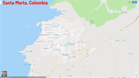
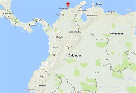
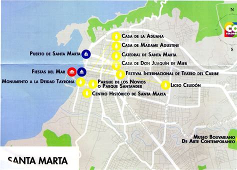
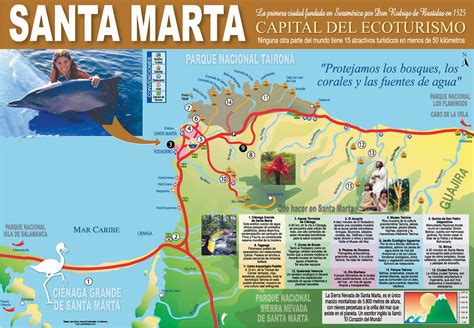
Location: Santa Marta 🌎
Location: Santa Marta, Colombia
Administration Region: Magdalena
Population: 515556
ISO2 Code: Magdalena
ISO3 Code: COL
Location Type: First-level Admin Capital
Latitude: 11.2419
Longitude: -74.2053
Santa Marta (Spanish pronunciation: [ˌsanta ˈmaɾta]), officially the Distrito Turístico, Cultural e Histórico de Santa Marta (English: Touristic, Cultural and Historic District of Santa Marta), is a city on the coast of the Caribbean Sea in northern Colombia. It is the capital of Magdalena Department and the fourth-largest urban city of the Caribbean Region of Colombia, after Barranquilla, Cartagena, and Soledad. Founded on July 29, 1525, by the Spanish conqueror Rodrigo de Bastidas, it was one of the first Spanish settlements in Colombia, its oldest surviving city, and second oldest in South America. This city is situated on a bay by the same name and as such, it is a prime tourist destination in the Caribbean region.

Top Santa Marta HD Maps, Free Download 🗺️
Map
Maps
United States
United States
World Map
China
China


