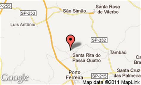
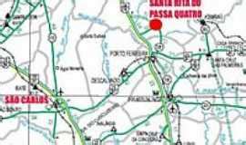
Location: Santa Rita do Passa Quatro 🌎
Location: Santa Rita do Passa Quatro, Brazil Administration Region: São Paulo Population: 27502 ISO2 Code: São Paulo ISO3 Code: BRA Location Type: Latitude: -21.7103 Longitude: -47.4781
Santa Rita do Passa Quatro is a municipality in the state of São Paulo in Brazil. Elevation is 748 metres (2,454 ft). The population is 27,600 (2020 estimate) in an area of 754 square kilometres (291 sq mi).The municipality holds the Cerrado Pé de Gigante Area of Relevant Ecological Interest and the Buriti de Vassununga Area of Relevant Ecological Interest. It contains the 2,071 hectares (5,120 acres) Vassununga State Park, established in 1970, which contains what may be the oldest tree in Brazil.A species of amphisbaenian, Amphisbaena sanctaeritae, is named after the municipality.

Top Santa Rita do Passa Quatro HD Maps, Free Download 🗺️
Map
Maps
United States
United States
World Map
China
China