Location: Santa Rita do Sapucaí 🌎
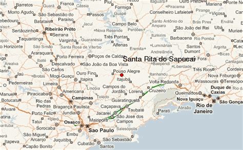
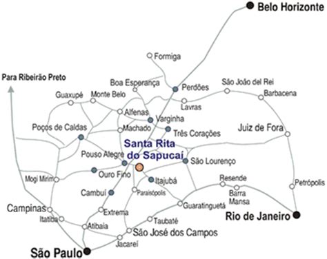
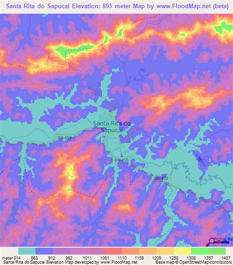
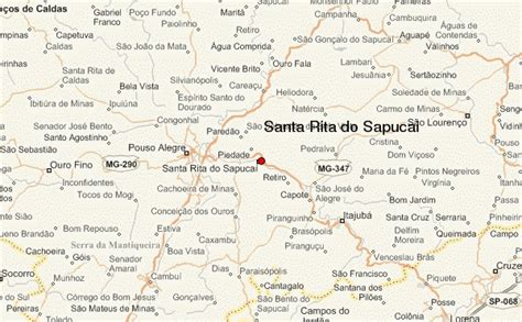
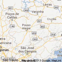
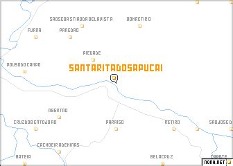
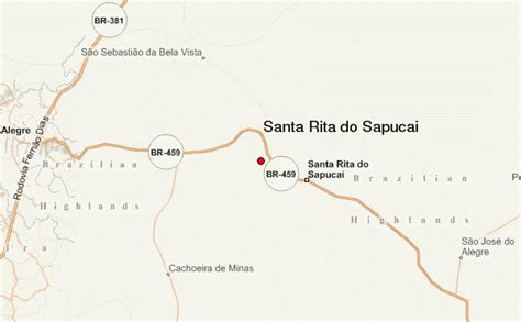
Location: Santa Rita do Sapucaí, Brazil
Administration Region: Minas Gerais
Population: 37754
ISO2 Code: Minas Gerais
ISO3 Code: BRA
Location Type:
Latitude: -22.2519
Longitude: -45.7028
Santa Rita do Sapucaí (Portuguese pronunciation: [ˈsɐ̃tɐ ˈʁitɐ ðu sɐpukɐˈi]) is a municipality situated in the southernmost part of the State of Minas Gerais. The city is known as the “electronic valley”, since it has plenty of electronic industries, and both a technical school (ETE – Escola Técnica de Eletrônica Francisco Moreira da Costa) and a University (Inatel – Instituto Nacional de Telecomunicações) which hold courses in electronic knowledge. It also has another university – FAI, which has majors in administration and informatics.
It has an area of 350,874 km2 (135.473 sq mi).
Santa Rita has an old freemasonry fraternity, called Loja Caridade Sul Mineira.
According to the last estimate (2020), it has a population of 43,753 people.
The town holds the Festa de Santa Rita every year in May, which attracts people to the town.
Carnival (Portuguese: Carnaval) in Santa Rita is also a very celebrated party, traditionally Bloco do Ride and Bloco dos Democráticos are the major street amusement, and for the young adults there is Bloco do Urso, which brings thousands of young people each year to the city in February.
In July 2012, Santa Rita do Sapucaí became the first jurisdiction in Minas Gerais to adopt same-sex marriage, and the first municipality in Brazil to individually legalize it. (See: Same-sex marriage in Brazil).
Top Santa Rita do Sapucaí HD Maps, Free Download 🗺️
Map
Maps
United States
United States
World Map
China
China
