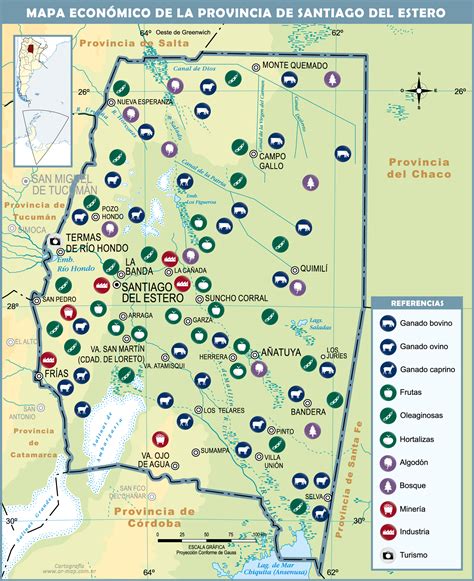
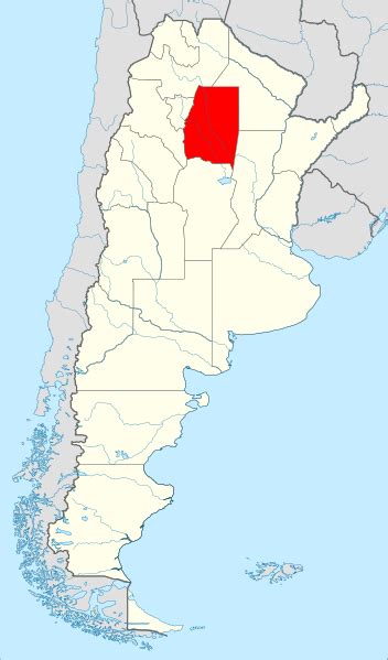
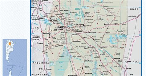
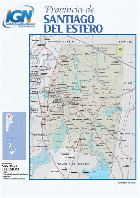
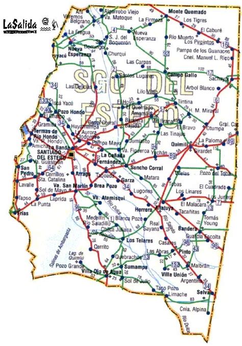
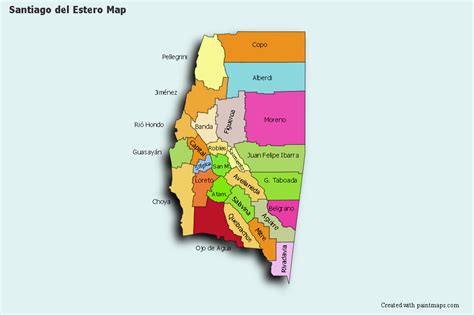
Location: Santiago del Estero 🌎
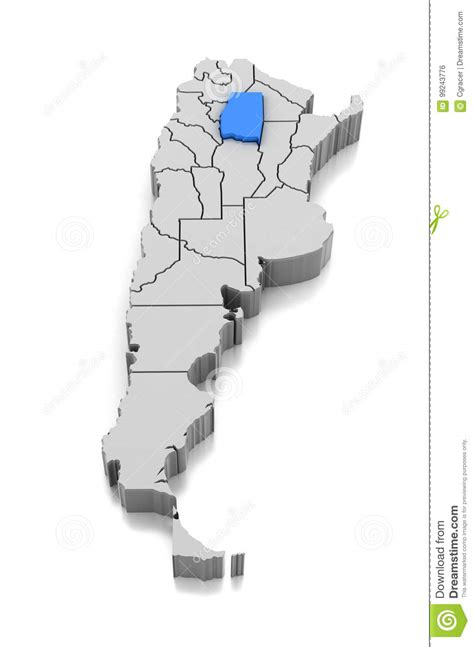
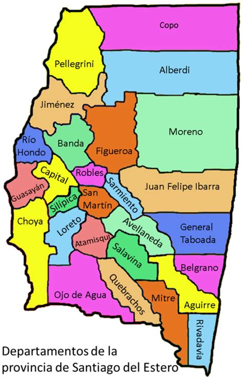
Location: Santiago del Estero, Argentina
Administration Region: Santiago del Estero
Population: 911506
ISO2 Code: Santiago del Estero
ISO3 Code: ARG
Location Type: First-level Admin Capital
Latitude: -27.7833
Longitude: -64.2667
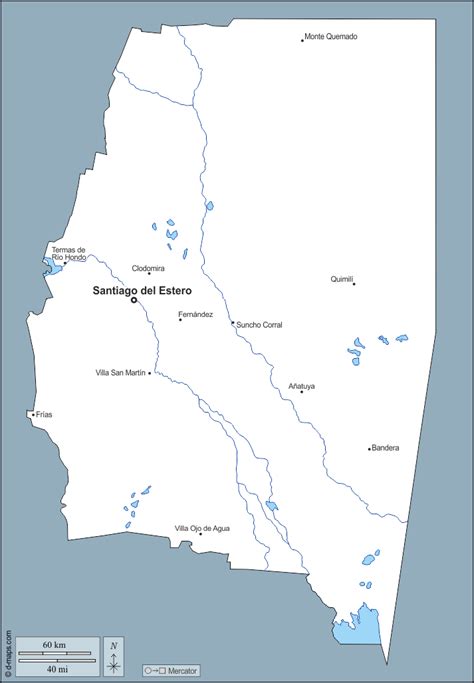
Santiago del Estero (Spanish pronunciation: [sanˈtjaɣo ðel esˈteɾo], Spanish for Saint-James-Upon-The-Lagoon) is the capital of Santiago del Estero Province in northern Argentina. It has a population of 252,192 inhabitants, (2010 census [INDEC]) making it the twelfth largest city in the country, with a surface area of 2,116 km2. It lies on the Dulce River and on National Route 9, at a distance of 1,042 km north-northwest from Buenos Aires. Estimated to be 455 years old, Santiago del Estero was the first city founded by Spanish settlers in the territory that is now Argentina. As such, it is nicknamed “Madre de Ciudades” (Mother of Cities). Similarly, it has been officially declared the “mother of cities and cradle of folklore.”The city houses the National University of Santiago del Estero, founded in 1973, and the Universidad Católica, founded in 1960. Other points of interest include the city’s Cathedral, the Santo Domingo Convent, and the Provincial Archeology Museum.
The Santiago del Estero Airport is located 6 kilometres north of the city, and has regular flights to Buenos Aires and San Miguel de Tucumán.
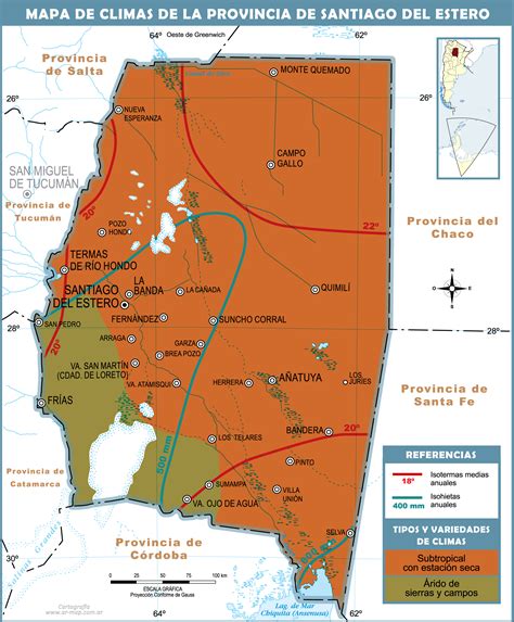
The climate is subtropical with cool dry winters and wet humid summers. It receives an average annual precipitation of 600 mm, and the climate is warm.
Santiago del Estero and its region are home to about 100,000 speakers of the local variety of Quechua, making it the southernmost outpost of the language of the Incas. It is one of the few indigenous languages surviving in modern Argentina.
Top Santiago del Estero HD Maps, Free Download 🗺️
Map
Maps
United States
United States
World Map
China
China
