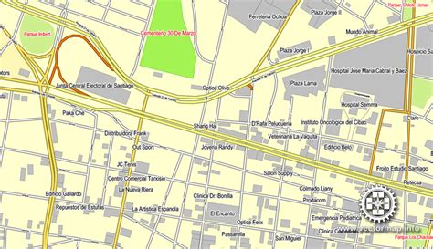
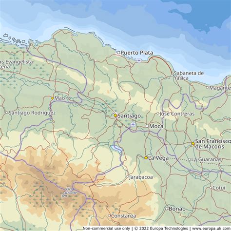
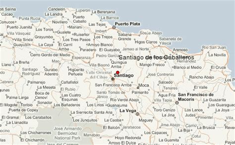
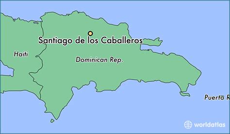
Santiago de los Caballeros (Spanish pronunciation: [sanˈtjaɣo ðe los kaβaˈʝeɾos]; English: Saint James of the Knights), often shortened to Santiago, is the second-largest city in the Dominican Republic and the fourth-largest city in the Caribbean by population. It is the capital of Santiago Province and the largest major metropolis in the Cibao region of the country, it is also the largest non-coastal metropolis in the Caribbean islands. The city has a total population of 1,173,015 inhabitants. Santiago is located approximately 155 km (96 mi) northwest of the capital Santo Domingo with an average altitude of 178 meters (584 ft).
Founded in 1495 during the first wave of European settlement in the New World, the city is the “first Santiago of the Americas”. Today it is one of the Dominican Republic’s cultural, political, industrial and financial centers. Due to its location in the fertile Cibao Valley it has a robust agricultural sector and is a leading exporter of rum, textiles, and cigars. Santiago is known as “La Ciudad Corazón” (the “Heartland City”).Santiago de los Caballeros has historically been the capital of the country, and was an important strategic city in the Dominican War of Independence. The name of the city, Saint James of the Knights, refers to the Hidalgos de la Isabela, a group of knights who had come from La Isabela city to stay in Santiago. Sometimes the city is called Santiago de los 30 Caballeros (English: Saint James of the 30 Knights).