Location: Santiago 🌎
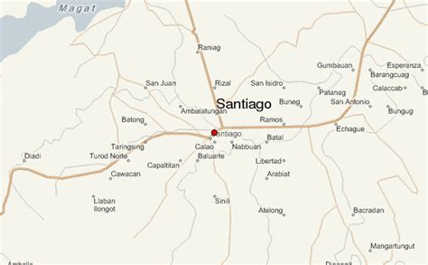
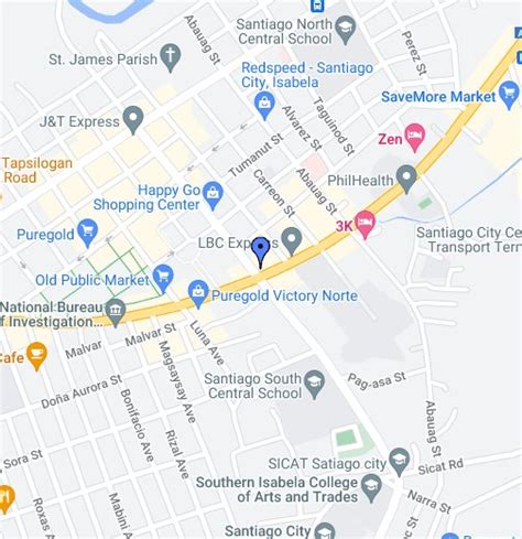
Location: Santiago, Philippines
Administration Region: Santiago
Population: 148580
ISO2 Code: Santiago
ISO3 Code: PHL
Location Type: First-level Admin Capital
Latitude: 16.68
Longitude: 121.55
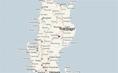
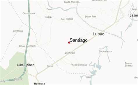
Santiago, officially the City of Santiago (Ilocano: Siudad ti Santiago; Ibanag: Siudad nat Santiago; Gaddang: Siudad na Santiago; Filipino: Lungsod ng Santiago), is a 1st class independent component city in the Cagayan Valley region of the Philippines. According to the 2020 census, it has a population of 148,580 people. It is formerly known as Pueblo de Carig during the time of the Spanish, it is located between southwestern part of Isabela and northwestern boundary of Quirino in Northeastern Luzon island of the Philippines. It is the gateway to the vast plains of Cagayan Valley.
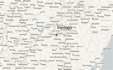
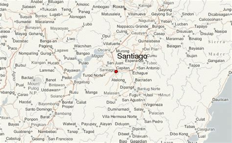
Santiago is situated 331 kilometres (206 mi) north of Metro Manila. The city sits on a vast area of predominantly flat and fertile land in the Cagayan Valley, surrounded by the Caraballo Mountains to the south, the Great Sierra Madre to the east and the Cordillera Mountain Range to the west alongside the Magat River.
Though statistically grouped by the Philippine Statistics Authority and geographically located within the boundaries of the province of Isabela, as well as part of the province’s 4th District, Santiago City is administratively and legally independent from the province as stated in Section 25 of the Local Government Code.
Top Santiago HD Maps, Free Download 🗺️
Map
Maps
United States
United States
World Map
China
China
