Location: Sarai Alamgir 🌎
Location: Sarai Alamgir, Pakistan
Administration Region: Punjab
Population: 350288
ISO2 Code: Punjab
ISO3 Code: PAK
Location Type:
Latitude: 32.9
Longitude: 73.75
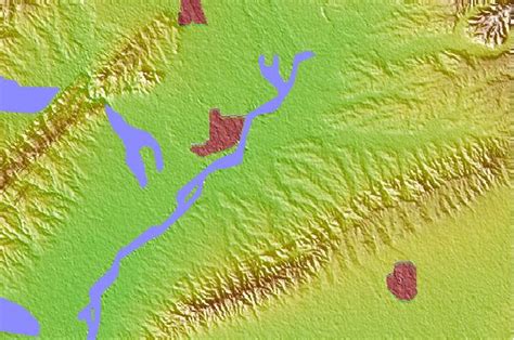
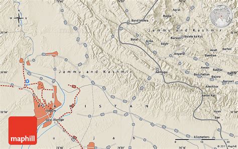
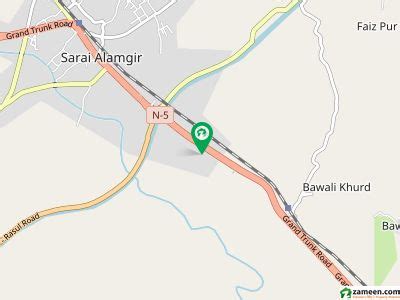
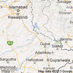
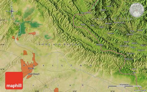
Sarai Alamgir (Punjabi: سرائے عالمگیر) is the main town of Sarai Alamgir Tehsil, located in the Gujrat district in the north of the Punjab province of Pakistan. Sarai Alamgir is one of four tehsils of Gujrat district.Sarai Alamgir covers 575 km2 (222 sq mi) on the eastern bank of the Jhelum River, across from the larger town of Jhelum. East of the town is the Upper Jhelum Canal. Sarai Alamgir was raised to the level of Municipal Committee in 1976. After the implementation of Punjab Local Government Ordinance 2001, it was given the status of Tehsil Municipal Administration (TMA).
Top Sarai Alamgir HD Maps, Free Download 🗺️
Map
Maps
United States
United States
World Map
China
China

