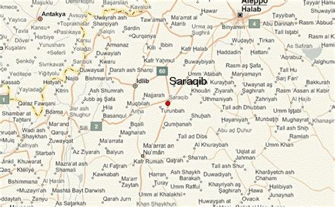
Location: Sarāqib 🌎
Location: Sarāqib, Syria
Administration Region: Idlib
Population: 39901
ISO2 Code: Idlib
ISO3 Code: SYR
Location Type: Lower-level Admin Capital
Latitude:
Longitude:
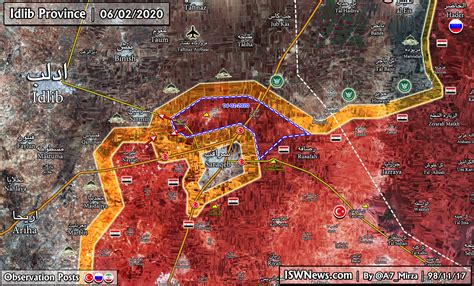
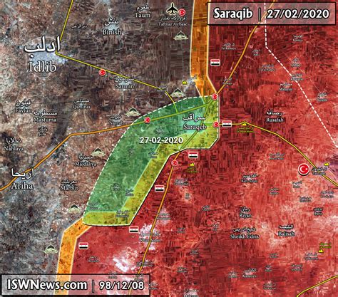
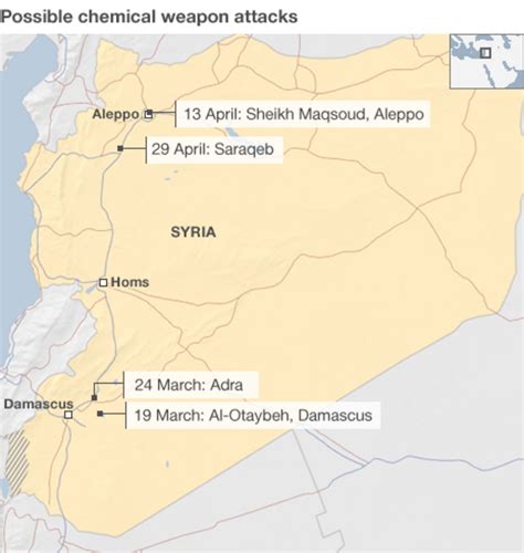
Saraqib (Arabic: سَرَاقِب, romanized: Sarāqib also spelled Saraqeb) is a city in northwestern Syria, administratively belonging to the Idlib Governorate, located east of Idlib. During the course of the Syrian Civil War, the city fell into rebel forces in 2012 and was recaptured by the Syrian Army in 2020.
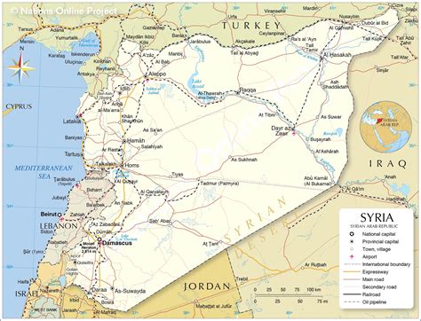
It has an elevation of 370 meters above sea level. The ancient site of Ebla is situated five kilometers south of the city. Nearby localities include Mardikh and Maar Dibsah to the south, Tronba and al-Nayrab to the west, Sarmin to the northwest, Taftanaz to the north, Talhiyah to the northeast, Tell Touqan to the east and Kafr Amim to the southeast. The M4 and M5 motorways intersect near Saraqib.According to the Syria Central Bureau of Statistics (CBS), Saraqib had a population of 32,495 in the 2004 census. It is the administrative center and largest locality of the Saraqib nahiyah (“subdistrict”) which consists of 24 localities that had a collective population of 88,076 in 2004. Its inhabitants are predominantly Sunni Muslims.
Top Sarāqib HD Maps, Free Download 🗺️
Map
Maps
United States
United States
World Map
China
China
