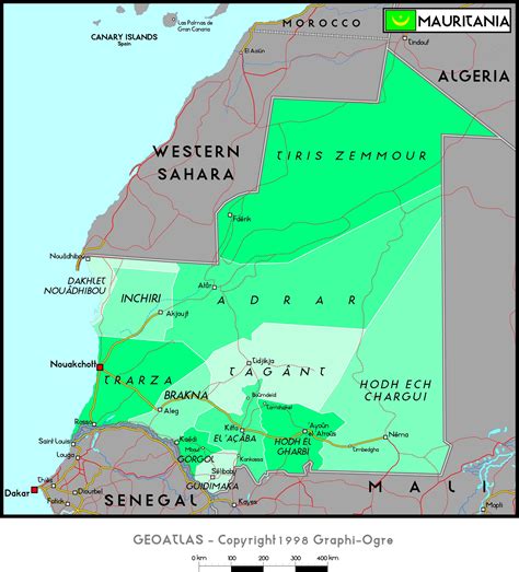
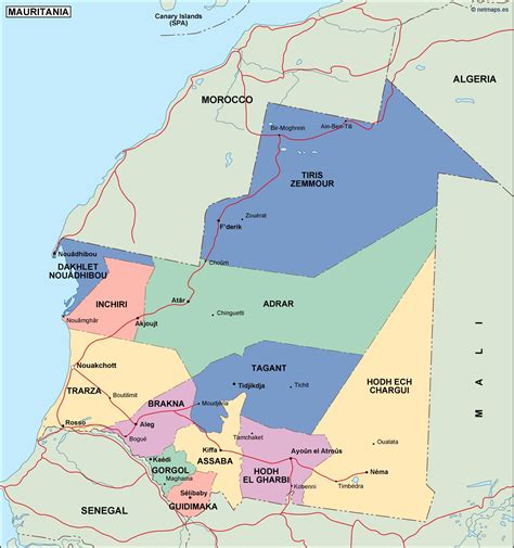
Location: Sélibaby 🌎
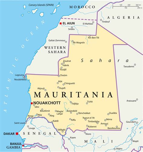
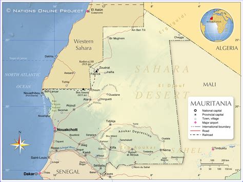
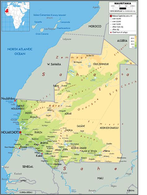
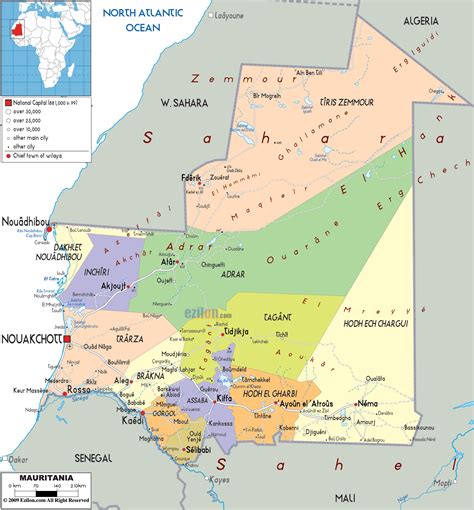
Location: Sélibaby, Mauritania
Administration Region: Guidimaka
Population: 26420
ISO2 Code: Guidimaka
ISO3 Code: MRT
Location Type: First-level Admin Capital
Latitude: 15.1592
Longitude: -12.1833
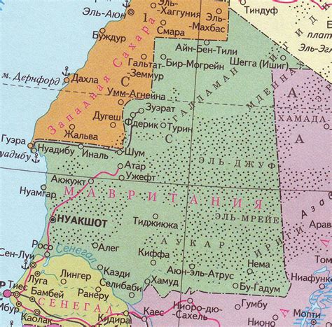
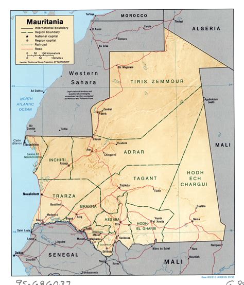
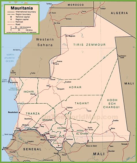
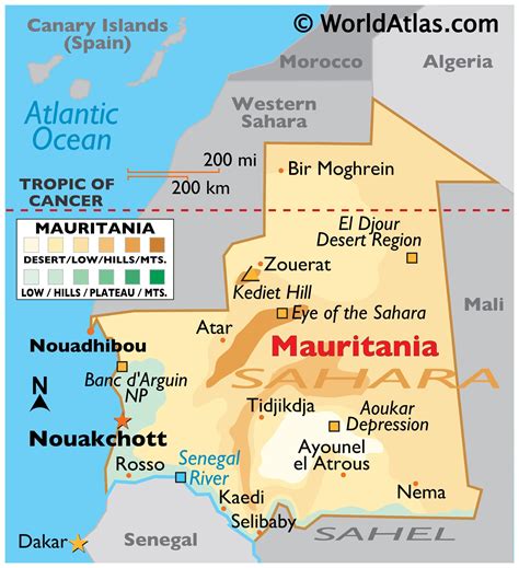
Sélibaby (Arabic: سليبابي) is a capital town and department of the Guidimaka Region, Mauritania. It is located at around 15°9′33″N 12°11′00″W. It is divided into a number of “quartiers” which include “College”, “Silo”, ‘Ferlo” , “nezaha” , “saada” , “el jedida” “Bambaradougou” amongst many others. Selibaby also has a regional hospital, funded by the Chinese government and partially staffed by Chinese doctors and is the headquarters of the regional director of health. Selibaby is a centre for NGOs who operate in the region.
Top Sélibaby HD Maps, Free Download 🗺️
Map
Maps
United States
United States
World Map
China
China
