Location: Semarang 🌎
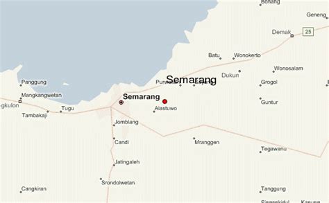
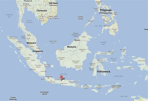
Location: Semarang, Indonesia
Administration Region: Jawa Tengah
Population: 1621384
ISO2 Code: Jawa Tengah
ISO3 Code: IDN
Location Type: First-level Admin Capital
Latitude: -6.9667
Longitude: 110.4167
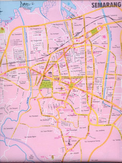
Semarang (Javanese: ꦏꦸꦛꦯꦼꦩꦫꦁ, Pegon: سماراڠ) is the capital and largest city of Central Java province in Indonesia. It was a major port during the Dutch colonial era, and is still an important regional center and port today. The city has been named as the cleanest tourist destination in Southeast Asia by the ASEAN Clean Tourist City Standard (ACTCS) for 2020–2022.It has an area of 373.78 km2 (144.32 sq mi) and is located at 6°58′S 110°25′E. The population of the city was 1,555,984 at the 2010 census and 1,653,524 at the 2020 census, making it Indonesia’s ninth most populous city after Jakarta, Surabaya, Bekasi, Bandung, Medan, Depok, Tangerang and Palembang. The built-up urban area had 3,183,516 inhabitants at the 2010 census spread over two cities and 26 districts. The Semarang metropolitan area (a.k.a. Kedungsepur) has a population of over 6 million in 2020 (see Greater Semarang section). The population of the city is predominantly Javanese with significant Chinese presence.

Top Semarang HD Maps, Free Download 🗺️
Map
Maps
United States
United States
World Map
China
China


