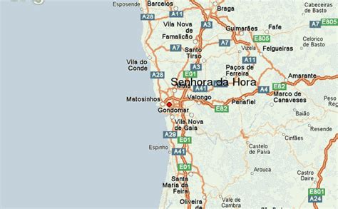
Location: Senhora da Hora 🌎
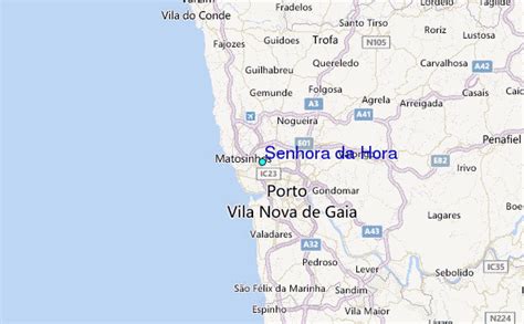
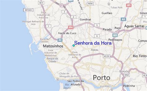
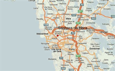
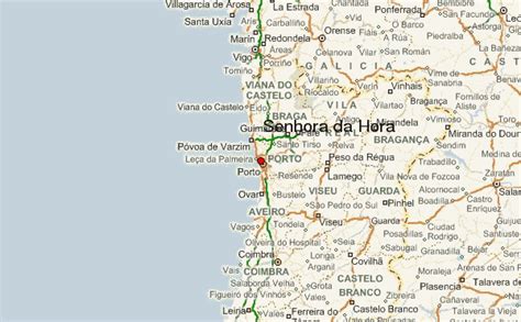
Location: Senhora da Hora, Portugal
Administration Region: Porto
Population: 29000
ISO2 Code: Porto
ISO3 Code: PRT
Location Type:
Latitude: 41.186
Longitude: -8.651
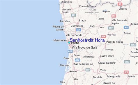
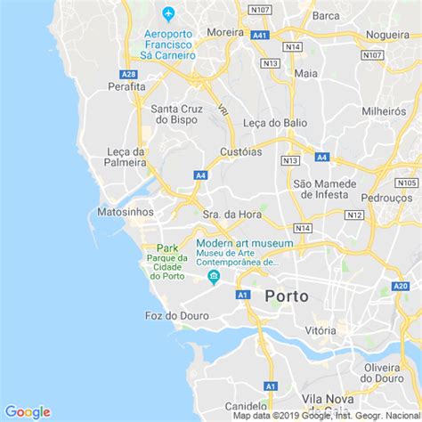
Senhora da Hora (Portuguese pronunciation: [sɨˈɲoɾɐ ðɐ ˈɔɾɐ]) is a former civil parish in the municipality of Matosinhos in the Greater Porto area, Portugal. In 2013, the parish merged into the new parish São Mamede de Infesta e Senhora da Hora. It was promoted from town (vila) to city (cidade) status on 12 June 2009. It lies just north of the Porto city limits and is densely populated. It is a major suburban habitational area with many houses and some commerce.
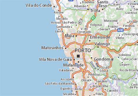
Senhora da Hora is very developed and is well connected by road, bus and Porto Metro to the nearby cities of Matosinhos, São Mamede de Infesta, Porto, Maia, Vila do Conde, the Porto Airport (OPO), and the port of Leixões all north of the Douro river. The large developed town of Águas Santas is also in Grande Porto.
Top Senhora da Hora HD Maps, Free Download 🗺️
Map
Maps
United States
United States
World Map
China
China
