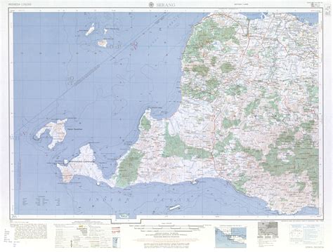
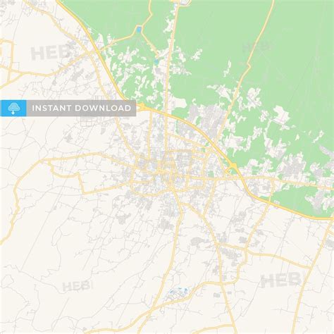
Location: Serang 🌎
Location: Serang, Indonesia
Administration Region: Banten
Population: 613356
ISO2 Code: Banten
ISO3 Code: IDN
Location Type: First-level Admin Capital
Latitude: -6.12
Longitude: 106.1503
Serang (Indonesian: Kota Serang, Indonesian pronunciation: [kota sɛraŋ], Sundanese: ᮞᮦᮛᮀ) is a city and the capital of Banten province and was formerly also the administrative center of Serang Regency in Indonesia (the Regency’s capital is now at Ciruas). The city is located towards the north of Banten province, on the island of Java. Before Banten province was formed in 2000, Serang was part of West Java province.
Serang has a tropical rainforest climate, with no dry season month. It faces the Java Sea, which is home to Thousand Islands.
Serang had a population of 576,961 in the 2010 census, making it the third most populous city in the province of Banten. The 2020 Census gave a total of 692,101; the official estimate as at mid 2022 was 720,362. Serang is located approximately 15 km from the border of Jabodetabek and sometimes considered as amalgamated with Greater Jakarta.

Top Serang HD Maps, Free Download 🗺️
Map
Maps
United States
United States
World Map
China
China

