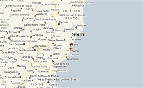
Location: Serra 🌎
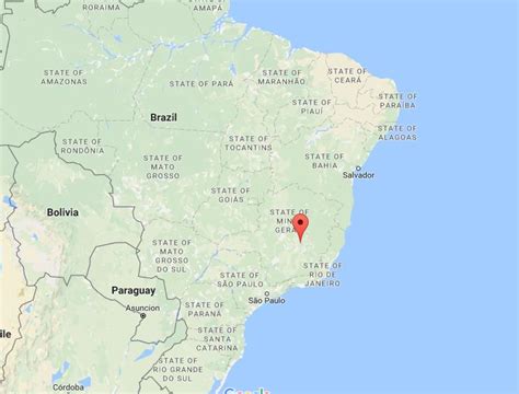
Location: Serra, Brazil
Administration Region: Espírito Santo
Population: 485376
ISO2 Code: Espírito Santo
ISO3 Code: BRA
Location Type:
Latitude:
Longitude:
Serra is a municipality in the state of Espírito Santo, Brazil. Bordering the north of the state’s capital, Vitória, the municipality is part of the Greater Vitória metropolitan area. Its population was 527,240 (2020) and its area is 548 km2.
Serra, the seat of the municipality, is to the north of the characteristic Mestre Álvaro mountain which juts out of the coastal lowlands, and which is said to look like a small mountain range or “serra”, in Portuguese, which is where the town and municipality got its name.
Top Serra HD Maps, Free Download 🗺️
Map
Maps
United States
United States
World Map
China
China

