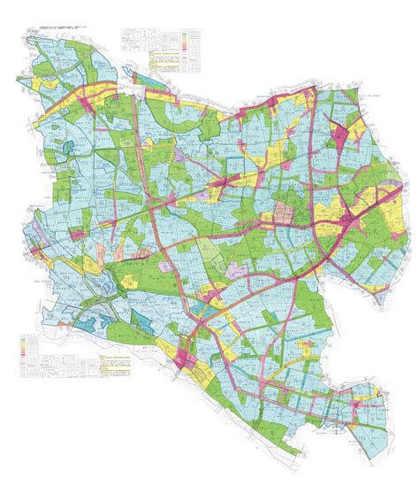
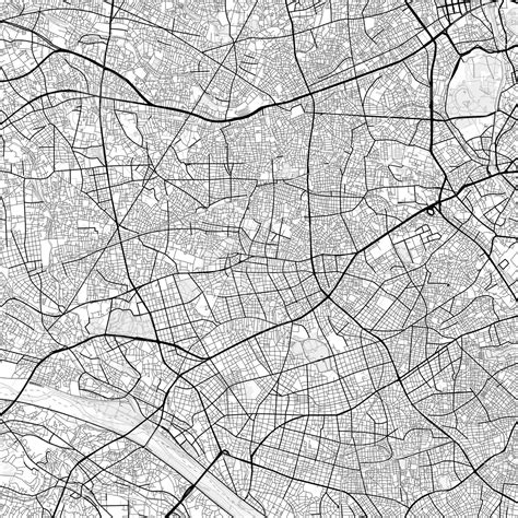
Location: Setagaya 🌎
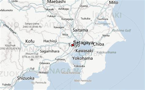
Location: Setagaya, Japan Administration Region: Tōkyō Population: 940509 ISO2 Code: Tōkyō ISO3 Code: JPN Location Type: Latitude: 35.6466 Longitude: 139.6532
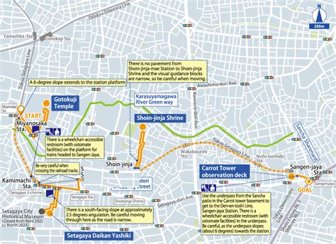
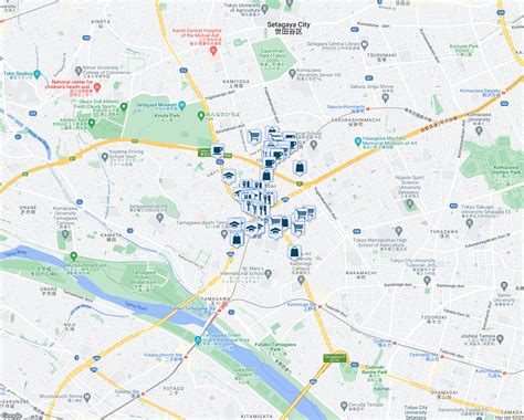
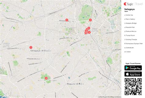
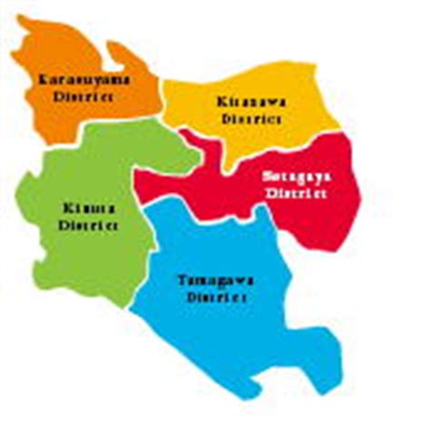
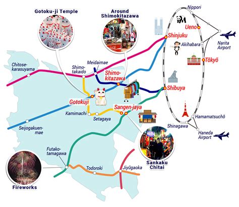
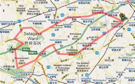
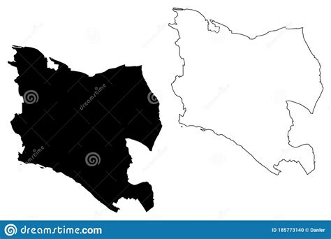
Setagaya (世田谷区, Setagaya-ku) is a special ward in Tokyo, Japan. It is also the name of a neighborhood and administrative district within the ward. The ward calls itself Setagaya City in English. Its official bird is the azure-winged magpie, its flower is the fringed orchid, and its tree is the Zelkova serrata. Setagaya has the largest population and second-largest area (after Ōta) of Tokyo’s special wards. As of January 1, 2020, the ward has an estimated population of 939,099, and a population density of 16,177 persons per square kilometre with the total area of 58.06 km2.

Top Setagaya HD Maps, Free Download 🗺️
Map
Maps
United States
United States
World Map
China
China