Location: Shiliguri 🌎
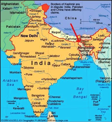
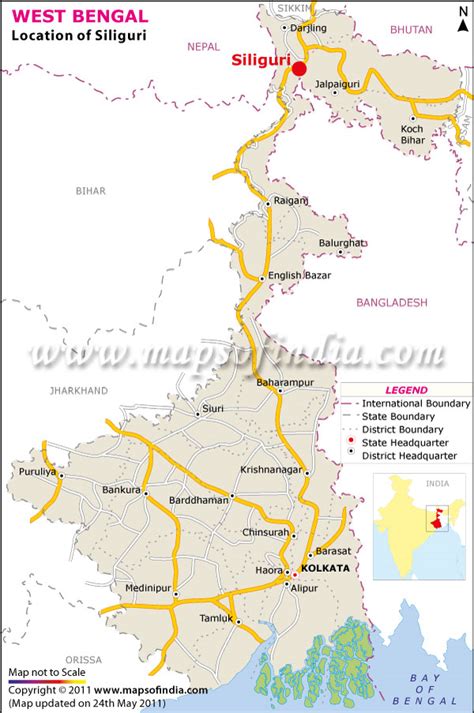
Location: Shiliguri, India
Administration Region: West Bengal
Population: 701489
ISO2 Code: West Bengal
ISO3 Code: IND
Location Type:
Latitude: 26.5833
Longitude: 88.25
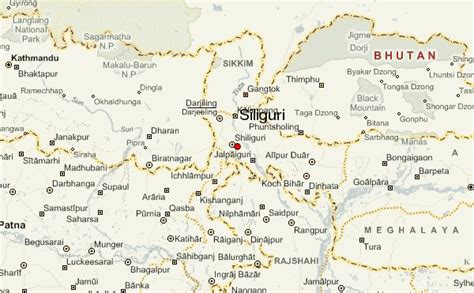
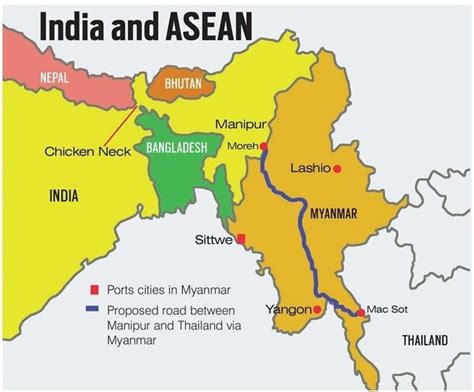
The Siliguri Corridor, also known as the Chicken’s Neck, is a stretch of land around the city of Siliguri in West Bengal, India. 20–22 kilometres (12–14 mi) at the narrowest section, this geo-political and geo-economical corridor connects the eight states of northeast India to the rest of India. The countries of Nepal and Bangladesh lie on each side of the corridor and the Kingdom of Bhutan lies at the northern end of the corridor. The Kingdom of Sikkim formerly lay on the northern side of the corridor, until its merging with India in 1975.
The city of Siliguri, in the state of West Bengal, is the major city in this area and the central transfer point that connects Bhutan, Nepal, Bangladesh, Sikkim, Darjeeling, and Northeast India to one another.
Top Shiliguri HD Maps, Free Download 🗺️
Map
Maps
United States
United States
World Map
China
China


