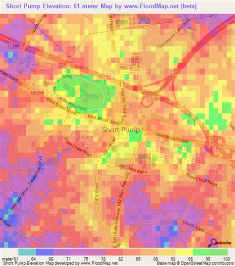
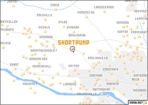
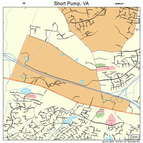
Short Pump is a census-designated place (CDP) in Henrico County, Virginia, United States. It is a suburb of Richmond, Virginia. The population was 24,729 at the 2010 census.The original village of Short Pump was located at the intersection of Three Chopt Road (formerly known as Three Notched Trail), Richmond Turnpike and Pouncey Tract Road. The area first centered around a local tavern that was expanded by Col. Robert H. Saunders beginning in 1814. According to local legend, it was named for the short handled pump that was located beneath the porch of the tavern, though there is some debate over the name’s origin. This area was on the principal route between Richmond and Charlottesville, as well as other towns in the Blue Ridge Mountains. Thomas Jefferson, the Earl Cornwallis, the Marquis de Lafayette, General Peter Muhlenberg, Stonewall Jackson and Ulric Dahlgren all visited this area.
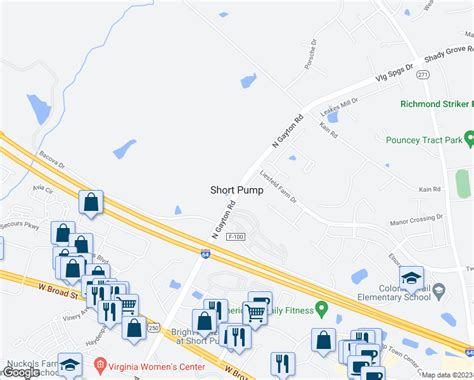
The crossroads was officially named Short Pump by 1853, according to a Henrico County map found in the Virginia Historical Society.It has now become part of Richmond’s Far West End. In 2003, developers opened Short Pump Town Center, an 1,200,000-square-foot (110,000 m2) open air shopping mall. Other shopping and living spaces include West Broad Village.Short Pump is noted for its shopping centers, restaurants, skating rink, and bowling alley. The area is an edge city of Richmond.