Location: Sīkar 🌎
Location: Sīkar, India
Administration Region: Rājasthān
Population: 359293
ISO2 Code: Rājasthān
ISO3 Code: IND
Location Type:
Latitude: 27.62
Longitude: 75.15
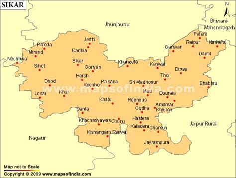
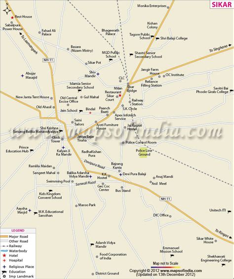
Sikar is a city and municipal council in the Sikar district of the state of Rajasthan in India. It is the administrative headquarters of the Sikar district. It is part of the Shekhawati region, which consists of Sikar, Churu and Jhunjhunu. Sikar is a major coaching hub of the country post Kota for competitive examination preparations and has a number of engineering and medical coaching institutes.
Sikar is a historical city and contains many old havelis. It is 115 km (71 mi) away from Jaipur, 320 km (200 mi) from Jodhpur, 215 km (134 mi) from Bikaner, and 280 km (170 mi) from New Delhi.
Sikar is also popular for The Khatu Shyam Temple Situated in the Khatoo Village, 16 km from Reengus.
History

Top Sīkar HD Maps, Free Download 🗺️
Map
Maps
United States
United States
World Map
China
China


