Location: Sint-Truiden 🌎
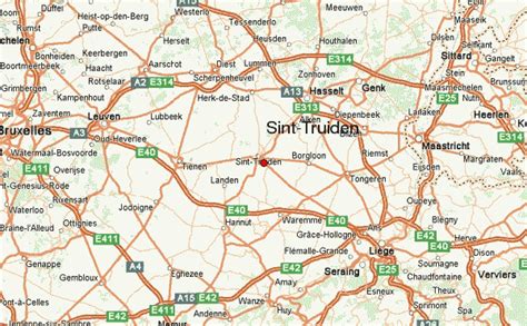
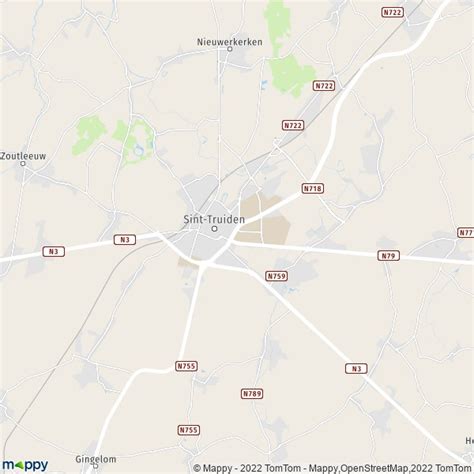
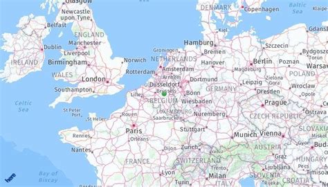
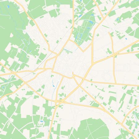
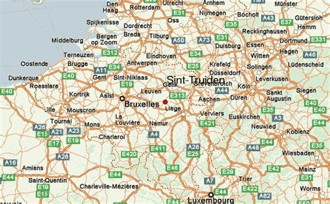
Location: Sint-Truiden, Belgium
Administration Region: Flanders
Population: 40672
ISO2 Code: Flanders
ISO3 Code: BEL
Location Type:
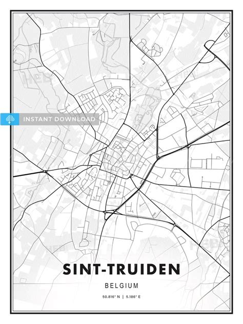
Latitude: 50.8
Longitude: 5.1833
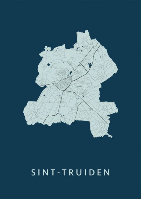
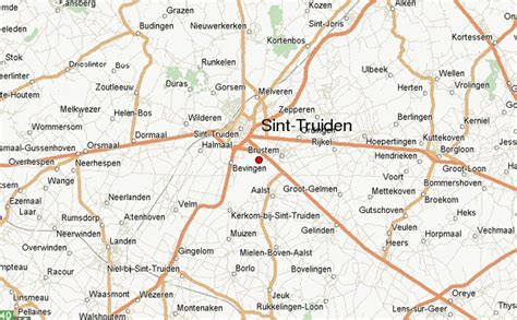
Sint-Truiden (Dutch pronunciation: [sɪnˈtrœydə(n)] ; French: Saint-Trond [sɛ̃ tʁɔ̃]; Limburgish: Sintruin [sɪnˈtʀœyn]) is a city and municipality located in the province of Limburg, Flemish Region, Belgium, and has over 41,500 inhabitants, which makes it one of the largest cities in Limburg. The municipality includes the former communes (now deelgemeenten) of Aalst, Brustem, Duras, Engelmanshoven, Gelinden, Gorsem, Groot-Gelmen, Halmaal, Kerkom-bij-Sint-Truiden, Melveren, Metsteren, Ordingen, Runkelen, Velm, Wilderen, and Zepperen.
The city is in the centre of Belgium’s fruit-producing region, Haspengouw (Hesbaye), and is renowned for its pears, apples (Jonagold), and sweet cherries.

Top Sint-Truiden HD Maps, Free Download 🗺️
Map
Maps
United States
United States
World Map
China
China
