Location: Sitangkai 🌎

Location: Sitangkai, Philippines Administration Region: Tawi-Tawi Population: 37319 ISO2 Code: Tawi-Tawi ISO3 Code: PHL Location Type: Latitude: 4.6615 Longitude: 119.3919
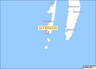
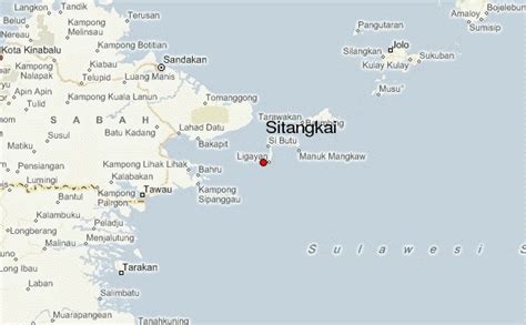
Sitangkai, officially the Municipality of Sitangkai (Tagalog: Bayan ng Sitangkai), is a 1st class municipality in the province of Tawi-Tawi, Philippines. According to the 2020 census, it has a population of 37,319 people. It is the southernmost place in the Philippines and is very close to Malaysia and Indonesia. It is called the “Venice of the Philippines” due to the use of boats as primary transportation, although footbridges connect one house to another. The major sources of livelihood are fishing and farming, although there is very sparse agricultural land available.
Sitangkai Download Free HD Maps, Regions and Roads (Images & PDFs)

Top Sitangkai HD Maps, Free Download 🗺️

Map
Maps
United States
United States
World Map
China
China
Bongao, Sabah Philippines, Philippines, Sitangkai, Philippines
336 x 240px
Philippines, Sitangkai
Jolo Philippines, Tawi-Tawi Philippines, Guide, Sitangkai, Philippines
600 x 371px
Philippines, Sitangkai
Philippine Provinces, Uninhabited Islands, Topography, Sitangkai, Philippines
512 x 582px
Philippines, Sitangkai