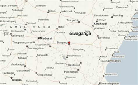
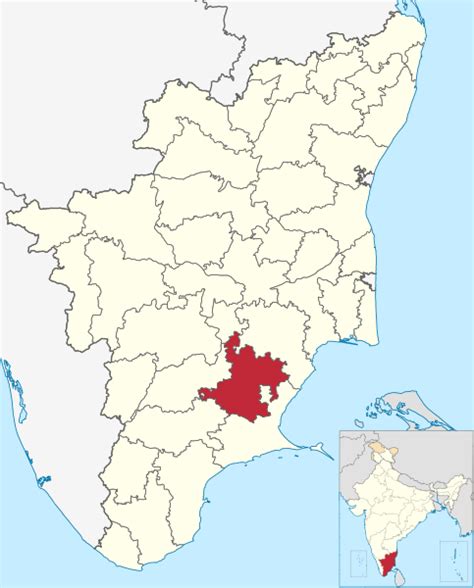
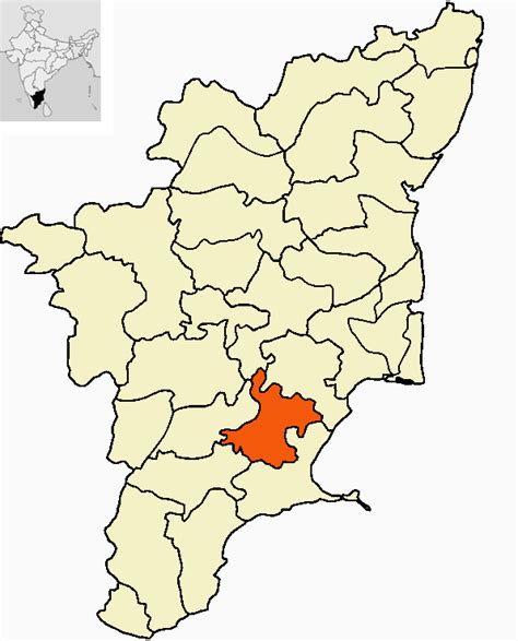
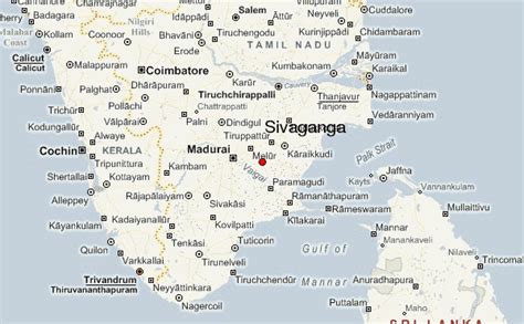
Sivaganga (Tamil: [siʋaɡəŋɡaɪ]) is a city and headquarters of the Sivaganga district in the Indian state of Tamil Nadu. Sivaganga is the Rani Velunachiyar’s Kingdom of Tamil Nadu. It is an important city in this district for official and commercial purposes. Its nickname was Sivagangai Seemai.
It is known for the 16th-century Sivagangai Fort, located in City Centre. Inside the fort, the Rajarajeshwari Amman Temple features many ornate sculptures. Nearby, the Government Museum has prehistoric relics and natural history displays. The city is located at a distance of 48 km (30 mi) from Madurai and 449 km (279 mi) from the state capital Chennai.
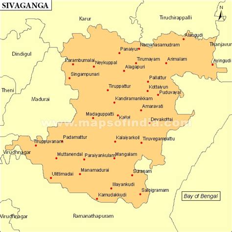
Sivaganga is administered by a municipality established in 1965. As of 2011, the municipality covered an area of 10.2 km2 (3.9 sq mi) and had a population of 40,403. The town is known for agriculture, metal working and weaving. The region around Sivaganga has considerable mineral deposits.
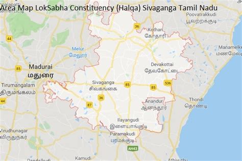
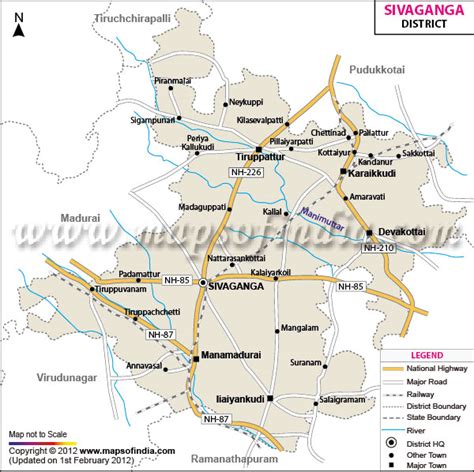
Sivaganga comes under the Sivaganga assembly constituency, which elects a member to the Tamil Nadu Legislative Assembly once every five years. It is a part of the Sivaganga constituency which elects its Member of Parliament (MP) once in five years. Roadways are the major mode of transportation to the town and have rail connectivity. The nearest seaport, V. O. Chidambaranar Port Trust, Thoothukudi is located 189 km (117 mi) from Sivaganga, while the nearest airport, Madurai International Airport, is located 53 km (33 mi) from the city.