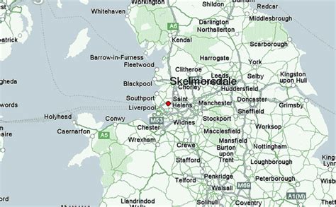
Skelmersdale is a town in Lancashire, England, on the River Tawd, 6 miles (10 km) west of Wigan, 13 miles (21 km) northeast of Liverpool and 15 miles (24 km) southwest of Preston. In 2006, it had a population of 38,813. The town is known locally as Skem .
While the first record of the town is in the Domesday Book of 1086, much of the town, including the current town centre, was developed as a second wave new town in the 1960s. The town’s initial development as a coal town coincided with the Industrial Revolution in the 19th century; the town lies on the Lancashire Coalfield.