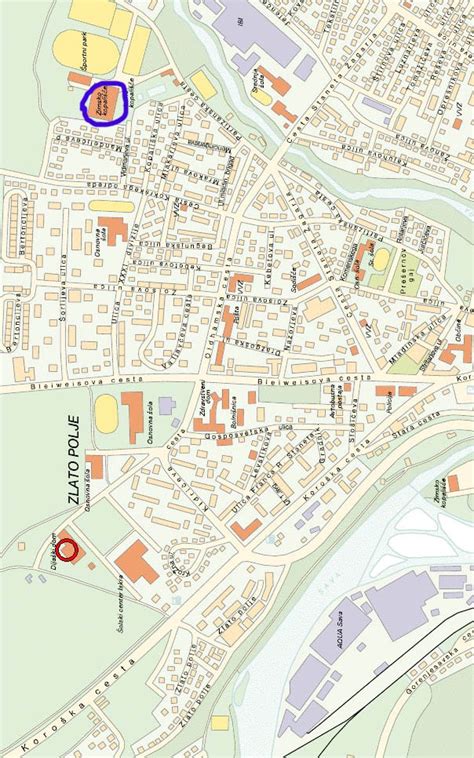
Location: Slovenia 🌎
Country: Slovenia
ISO2 Code: SI
ISO3 Code: SVN
Location Type: Country
Latitude: 48.6667
Longitude: 19.5
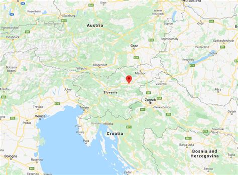
Slovenia ( sloh-VEE-nee-ə; Slovene: Slovenija [slɔˈʋèːnija]), officially the Republic of Slovenia (Slovene: Republika Slovenija , abbr.: RS), is a country in southern Central Europe. It is bordered by Italy to the west, Austria to the north, Hungary to the northeast, Croatia to the southeast, and the Adriatic Sea to the southwest. Slovenia is mostly mountainous and forested, covers 20,271 square kilometres (7,827 sq mi), and has a population of 2.1 million (2,110,547 people). Slovenes constitute over 80% of the country’s population. Slovene, a South Slavic language, is the official language. Slovenia has a predominantly temperate continental climate, with the exception of the Slovene Littoral and the Julian Alps. A sub-mediterranean climate reaches to the northern extensions of the Dinaric Alps that traverse the country in a northwest–southeast direction. The Julian Alps in the northwest have an alpine climate. Toward the northeastern Pannonian Basin, a continental climate is more pronounced. Ljubljana, the capital and largest city of Slovenia, is geographically situated near the centre of the country.Slovenia has historically been the crossroads of Slavic, Germanic, and Romance languages and cultures. Its territory has been part of many different states: the Roman Empire, the Byzantine Empire, the Carolingian Empire, the Holy Roman Empire, the Kingdom of Hungary, the Republic of Venice, the Illyrian Provinces of Napoleon’s First French Empire, the Austrian Empire, and the Austro-Hungarian Empire. In October 1918, the Slovenes co-founded the State of Slovenes, Croats, and Serbs. In December 1918, they merged with the Kingdom of Serbia into the Kingdom of Yugoslavia. During World War II, Germany, Italy, and Hungary occupied and annexed Slovenia, with a tiny area transferred to the Independent State of Croatia, a newly declared Nazi puppet state. In 1945, it again became part of Yugoslavia. Post-war, Yugoslavia was allied with the Eastern Bloc, but after the Tito–Stalin split of 1948, it never subscribed to the Warsaw Pact, and in 1961 it became one of the founders of the Non-Aligned Movement. In June 1991, Slovenia declared independence from Yugoslavia and became an independent sovereign state.Slovenia is a developed country, with a high-income economy ranking highly in the Human Development Index. The Gini coefficient rates its income inequality among the lowest in the world. It is a member of the United Nations, the European Union, the Eurozone, the Schengen Area, the OSCE, the OECD, the Council of Europe, and NATO.

Top Slovenia HD Maps, Free Download 🗺️
Map
Maps
United States
United States
World Map
China
China
