Location: Sorel-Tracy 🌎
Location: Sorel-Tracy, Canada
Administration Region: Quebec
Population: 41629
ISO2 Code: Quebec
ISO3 Code: CAN
Location Type:
Latitude: 46.0333
Longitude: -73.1167
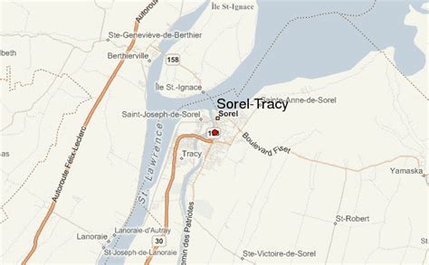
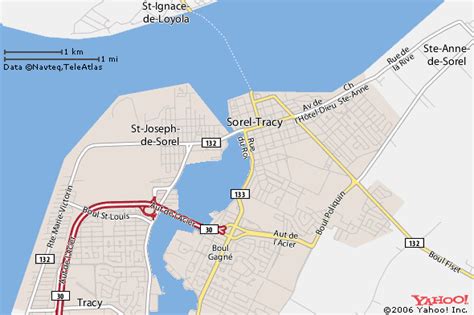
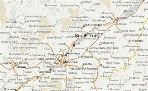
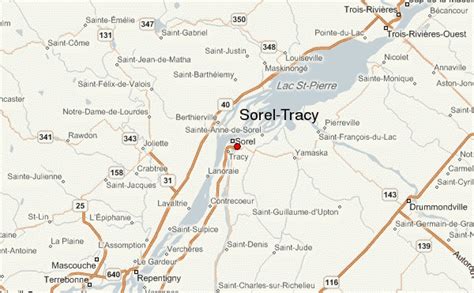
Sorel-Tracy (; French: [sɔʁɛl tʁaˈsi]) is a city in southwestern Quebec, Canada and the geographical end point of the Champlain Valley. It is located at the confluence of the Richelieu River and the St. Lawrence River, on the western edge of Lac Saint-Pierre, downstream and northeast of Montreal. The population as of the Canada 2011 Census was 34,600. Its mayor is Patrick Péloquin and it is the seat of the Pierre-De Saurel Regional County Municipality and the judicial district of Richelieu.The city is the result of a voluntary amalgamation in 2001 between two cities, Sorel and Tracy, which developed on opposite shores of the Richelieu River: Tracy on the west shore (left) and Sorel on the east (right) shore. In 1992 Sorel had annexed the municipality of Saint-Pierre-de-Sorel; today it forms the southern part of its territory.
Sorel was founded in 1642. Tracy was founded on February 10, 1954, but prior to that, it was a parish municipality known as Saint-Joseph de Sorel. (This is not to be confused with the town of Saint-Joseph-de-Sorel, an independent municipality north of Tracy).
Sorel-Tracy is known for manufacturing related to the steel industry and metallurgy. It has a ferry linking the city to the village of Saint-Ignace-de-Loyola. Its shipyard built units of three frigates for the Canadian forces, and two ships in the late 1960s.

Top Sorel-Tracy HD Maps, Free Download 🗺️
Map
Maps
United States
United States
World Map
China
China
