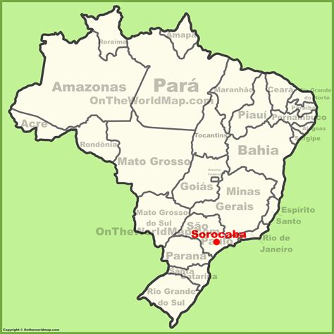
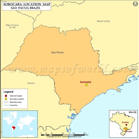
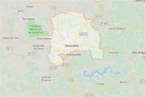
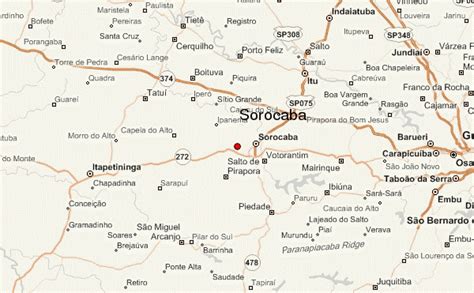
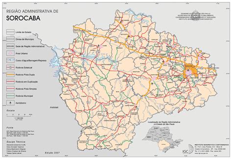
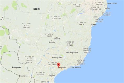
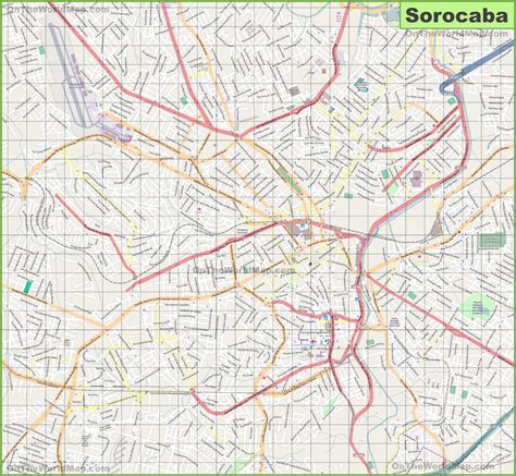
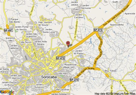
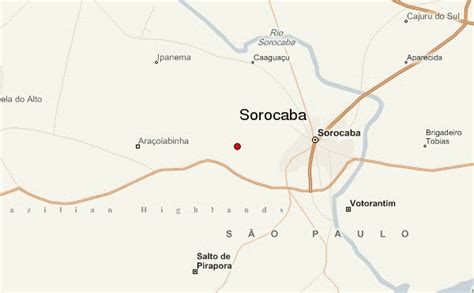
Location: Sorocaba 🌎
Location: Sorocaba, Brazil
Administration Region: São Paulo
Population: 644919
ISO2 Code: São Paulo
ISO3 Code: BRA
Location Type:
Latitude: -23.5017
Longitude: -47.4581
Sorocaba (Portuguese pronunciation: [soɾoˈkabɐ]) is a municipality in the state of São Paulo, Brazil. Sorocaba is the eighth-largest city in the state of São Paulo. Outside the Greater São Paulo region, it ranks behind only Campinas, São José dos Campos and Ribeirão Preto. It is part of the Metropolitan Region of Sorocaba. The population is 687,357 (2020 est.) in an area of 450.38 km2.Over the past twelve years the city has been undergoing extensive urbanization projects, improving streets and avenues, as well as infrastructure for the traffic which the city receives every day.
It is the eighth and fourth municipality in the consumer market in the state outside the Greater São Paulo metropolitan area, with a potential annual per capita consumption estimated at $2,400 for the urban population and $917 for rural areas (7200 people) and twenty-ninth-largest city in Brazil with potential for consumption. Still, it is the fourth-largest city of the state in new investments and one of the largest in the country, figuring in the list of 30 cities that create the most jobs in Brazil.
Top Sorocaba HD Maps, Free Download 🗺️
Map
Maps
United States
United States
World Map
China
China
