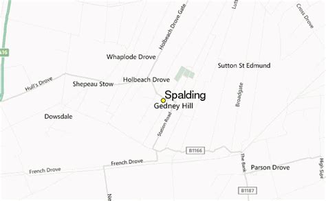
Spalding () is a market town on the River Welland in the South Holland district of Lincolnshire, England. The town had a population of 31,588 at the 2011 census. The town is the administrative centre of the South Holland District. The town is located between the cities of Peterborough and Lincoln, as well as the towns of Bourne, March, Boston, Wisbech, Holbeach and Sleaford.
The town was well known for the annual Spalding Flower Parade, held from 1959 to 2013. The parade celebrated the region’s vast tulip production and the cultural links between the Fens and the landscape and people of South Holland. At one time, it attracted crowds of more than 100,000. Since 2002 the town has held an annual pumpkin festival in October.