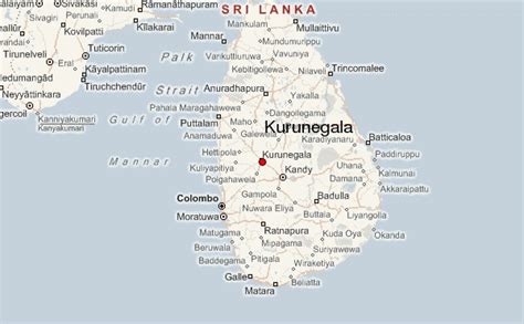
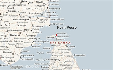
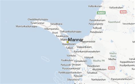
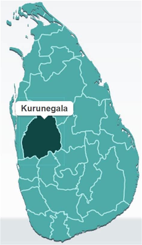
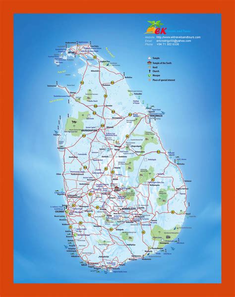
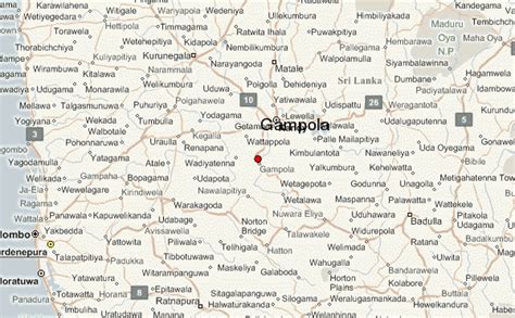
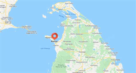
Sri Lanka (UK: , US: ; Sinhala: ශ්රී ලංකා, romanized: Śrī Laṅkā (IPA: [ʃriː laŋkaː]); Tamil: இலங்கை, romanized: Ilaṅkai (IPA: [ilaŋɡaj])), formerly known as Ceylon and officially the Democratic Socialist Republic of Sri Lanka, is an island country in South Asia. It lies in the Indian Ocean, southwest of the Bay of Bengal, separated from the Indian peninsula by the Gulf of Mannar and the Palk Strait. Sri Lanka shares a maritime border with the Maldives in the south-west and India in the north-west.
Sri Lanka has a population of approximately 22 million people and is home to many cultures, languages, and ethnicities. The Sinhalese people form the majority of the nation’s population, followed by the Tamils, who are the largest minority group and are concentrated in northern Sri Lanka; both groups have played an influential role in the island’s history. Other long-established groups include the Moors, Indian Tamils, Burghers, Malays, Chinese, and Vedda.Sri Lanka’s documented history goes back 3,000 years, with evidence of prehistoric human settlements that dates back 125,000 years. The earliest known Buddhist writings of Sri Lanka, known collectively as the Pāli canon, date to the fourth Buddhist council, which took place in 29 BCE. Also called the Teardrop of India, or the Granary of the East, Sri Lanka’s geographic location and deep harbours have made it of great strategic importance, from the earliest days of the ancient Silk Road trade route to today’s so-called maritime Silk Road. Because its location made it a major trading hub, it was already known to both East Asians and Europeans as long ago as the Anuradhapura period. During a period of great political crisis in the Kingdom of Kotte, the Portuguese arrived in Sri Lanka and sought to control the island’s maritime trade, with a part of Sri Lanka subsequently becoming a Portuguese possession. After the Sinhalese-Portuguese war, the Dutch Empire and the Kingdom of Kandy took control of those areas. The Dutch possessions were then taken by the British, who later extended their control over the whole island, colonising it from 1815 to 1948. A national movement for political independence arose in the early 20th century, and in 1948, Ceylon became a dominion. The dominion was succeeded by the republic of Sri Lanka in 1972. Sri Lanka’s more recent history was marred by a 26-year civil war, which began in 1983 and ended in 2009, when the Sri Lanka Armed Forces defeated the Liberation Tigers of Tamil Eelam.Sri Lanka is a developing country, ranking 73rd on the Human Development Index. It is the highest-ranked South Asian nation in terms of development and has the second-highest per capita income in South Asia. However, the ongoing economic crisis has resulted in the collapse of its currency, rising inflation, and a humanitarian crisis due to a severe shortage of essentials. It has also led to an eruption of street protests, with citizens successfully demanding that the President and the Government step down. The country has had a long history of engagement with modern international groups: it is a founding member of the SAARC and a member of the United Nations, the Commonwealth of Nations, the G77 and the Non-Aligned Movement.