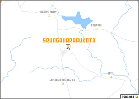
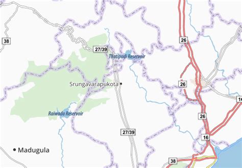
Location: Srungavarapukota 🌎
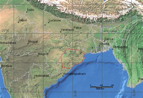
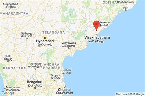
Location: Srungavarapukota, India
Administration Region: Andhra Pradesh
Population: 28304
ISO2 Code: Andhra Pradesh
ISO3 Code: IND
Location Type:
Latitude: 18.1167
Longitude: 83.1667
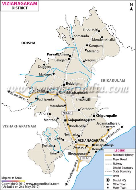
Srungavarapukota popularly known by its abbreviated form S.Kota is a neighbourhood in the district of Vizianagaram, India. S.Kota is located on Visakhapatnam – Araku road.
The town was upgraded from gram panchayat to Nagar Panchayat in the year 2011.

Top Srungavarapukota HD Maps, Free Download 🗺️
Map
Maps
United States
United States
World Map
China
China
