Location: Su-ngai Kolok 🌎

Location: Su-ngai Kolok, Thailand Administration Region: Narathiwat Population: 41590 ISO2 Code: Narathiwat ISO3 Code: THA Location Type: Lower-level Admin Capital Latitude: 6.0333 Longitude: 101.9667
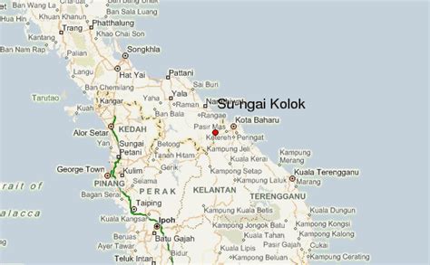
Su-ngai Kolok (Thai: สุไหงโกลก, Malay: Sungai Golok) is a border town, subdistrict, and district on the Malaysia-Thailand Border in Narathiwat Province, Thailand. It is one of the largest and most prosperous districts in Narathiwat Province. It is also one of the major economic centers in the southern part of Thailand. It is capital of the Su-ngai Kolok District. As of 2005, the town (thesaban mueang) had a population of 38,612. Across the border is Rantau Panjang, Kelantan, Malaysia.
Su-ngai Kolok Download Free HD Maps, Regions and Roads (Images & PDFs)

Top Su-ngai Kolok HD Maps, Free Download 🗺️

Map
Maps
United States
United States
World Map
China
China
Sg Golok, Sungai Kuala, Guide, Su-Ngai Kolok, Thailand
600 x 371px
Su-ngai Kolok, Thailand