Location: Suhl 🌎
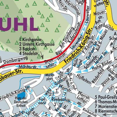
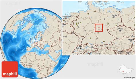
Location: Suhl, Germany
Administration Region: Thuringia
Population: 36955
ISO2 Code: Thuringia
ISO3 Code: DEU
Location Type: Lower-level Admin Capital
Latitude: 50.6106
Longitude: 10.6931
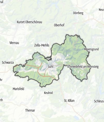
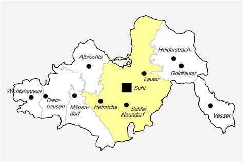
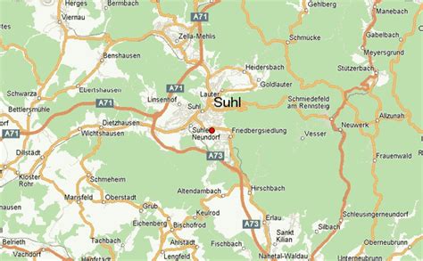
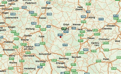
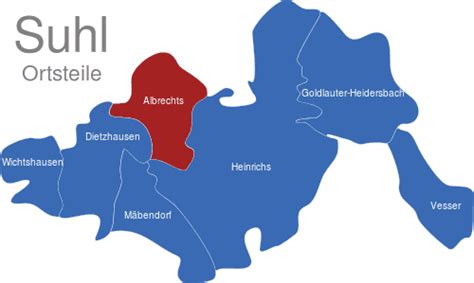
Suhl (German pronunciation: [zuːl] ) is a city in Thuringia, Germany, located SW of Erfurt, 110 kilometres (68 miles) NE of Würzburg and 130 kilometres (81 miles) N of Nuremberg. With its 37,000 inhabitants, it is the smallest of the six urban districts within Thuringia. Together with its northern neighbour-town Zella-Mehlis, Suhl forms the largest urban area in the Thuringian Forest with a population of 46,000. The region around Suhl is marked by up to 1,000-meter-high mountains, including Thuringia’s highest peak, the Großer Beerberg (983 m), approximately 5 kilometres (3 miles) NE of the city centre.
Suhl was first mentioned in 1318 and stayed a small mining and metalworking town, until industrialization broke through in late 19th century and Suhl became a centre of Germany’s arms production, specialized on rifles and guns with companies such as Sauer & Sohn. Furthermore, the engineering industry was based in Suhl with Simson, a famous car and moped producer. In 1952, Suhl became one of East Germany’s 14 district capitals, which led to a government-directed period of urban growth and conversion. Its results – a typical 1960s concrete architecture-marked city centre – are defining to the present. With the loss of its administrative and industrial functions, Suhl saw a lasting period of urban decline starting in 1990.
Suhl is known for its sportsmen, especially in shooting, winter sports, and volleyball.
Top Suhl HD Maps, Free Download 🗺️
Map
Maps
United States
United States
World Map
China
China

