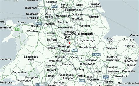
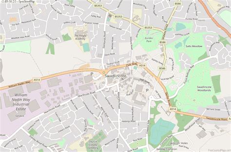
Location: Swadlincote 🌎
Location: Swadlincote, United Kingdom
Administration Region: Derbyshire
Population: 32219
ISO2 Code: Derbyshire
ISO3 Code: GBR
Location Type:
Latitude: 52.774
Longitude: -1.557
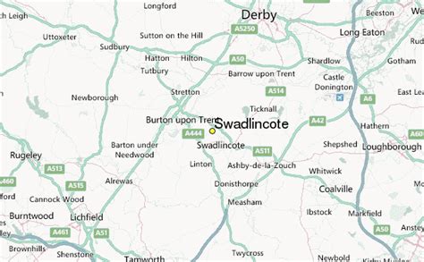
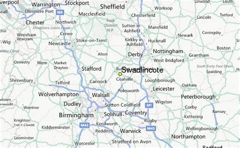
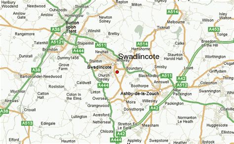
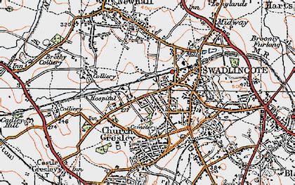
Swadlincote is a former mining town in the district of South Derbyshire, England, lying within The National Forest area. It borders the counties of Leicestershire and Staffordshire, 5 miles (8 km) south-east of Burton upon Trent and north-west of Ashby-de-la-Zouch, and 11.5 miles (19 km) south-west of Derby. It also covers Newhall, Oversetts, Midway and the villages of Church Gresley and Woodville, with the sub-district of Goseley. It has a population of some 36,000. Castle Gresley is 2 miles (3 km) to the south-west and Albert Village 1.5 miles (2 km) to the south.
Top Swadlincote HD Maps, Free Download 🗺️
Map
Maps
United States
United States
World Map
China
China

