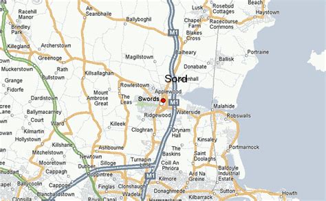
Location: Swords 🌎
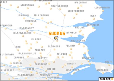
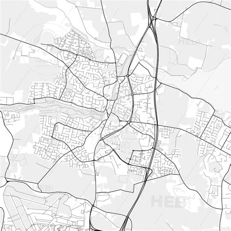
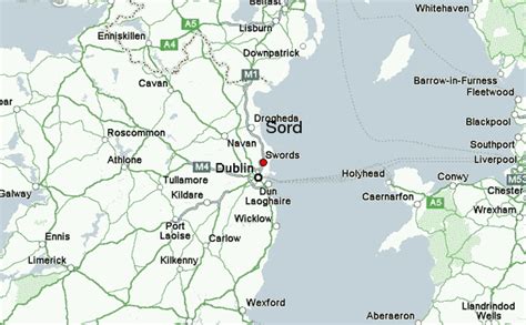
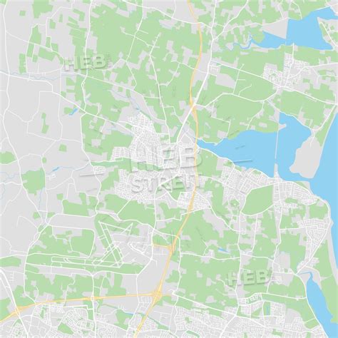
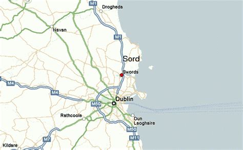
Location: Swords, Ireland
Administration Region: Fingal
Population: 36924
ISO2 Code: Fingal
ISO3 Code: IRL
Location Type: First-level Admin Capital
Latitude: 53.4597
Longitude: -6.2181
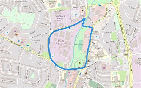
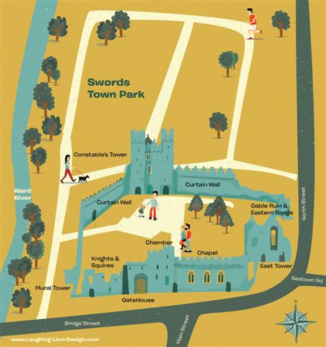
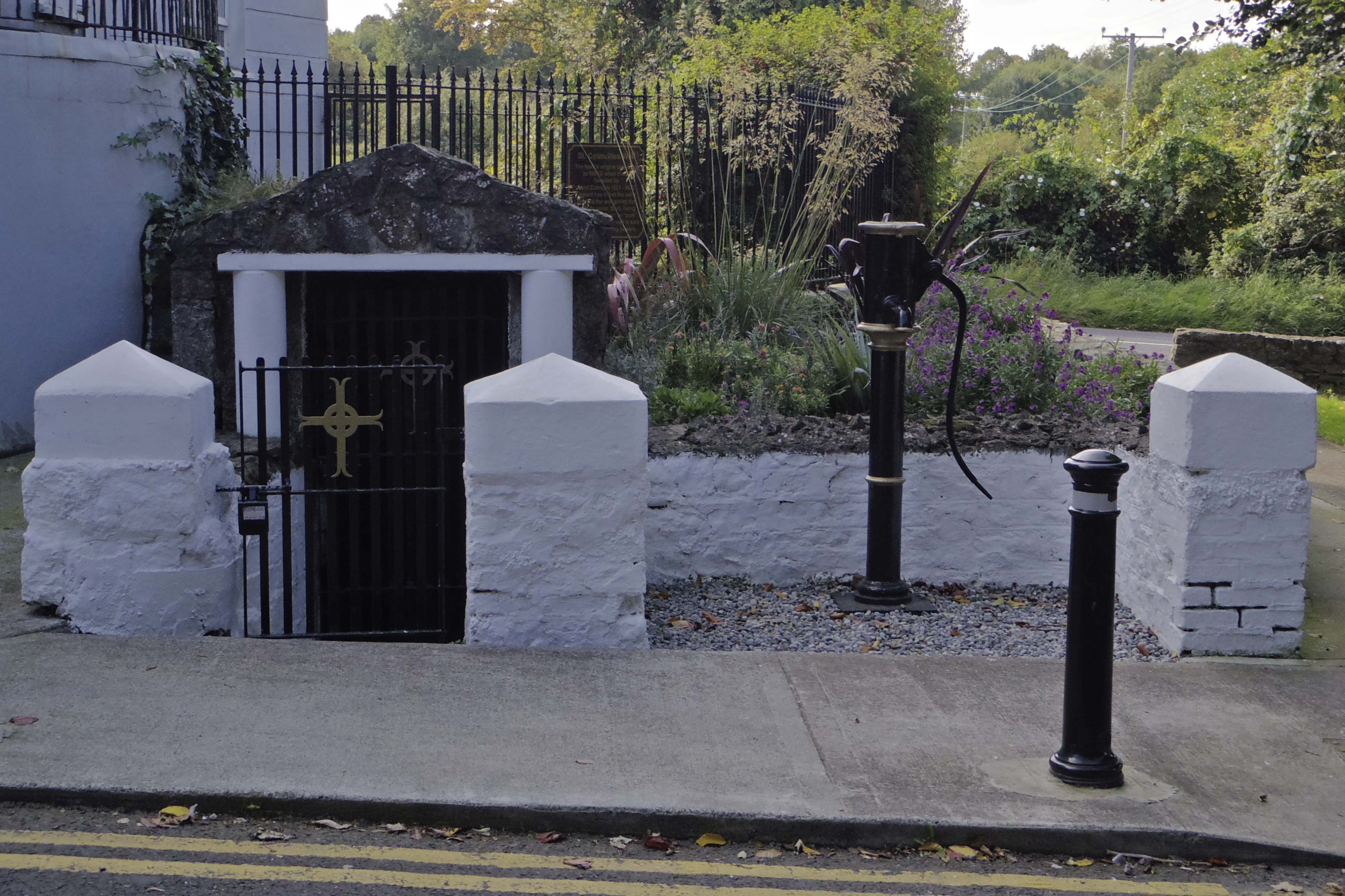
Swords (Irish: Sord [sˠoːɾˠd̪ˠ] or Sord Cholmcille), the county town of Fingal, is a large suburban town on the east coast of Ireland, situated ten kilometres north of Dublin city centre. The town was reputedly founded c. AD 560. Located on the Ward River, Swords features Swords Castle, a restored medieval castle, a holy well from which it takes its name, a round tower and a Norman tower. Facilities in the area include the Pavilions shopping centre, one of the largest in the Dublin region, a range of civic offices, some light industries, the main storage facility and archive of the National Museum of Ireland and several parks. Dublin Airport is located nearby.
The name “Swords” is also given to a townland, a civil parish within the old County Dublin, and to the local electoral area.
Top Swords HD Maps, Free Download 🗺️
Map
Maps
United States
United States
World Map
China
China
