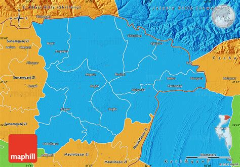
Location: Sylhet 🌎
Location: Sylhet, Bangladesh
Administration Region: Sylhet
Population: 479837
ISO2 Code: Sylhet
ISO3 Code: BGD
Location Type: First-level Admin Capital
Latitude: 24.5
Longitude: 91.6667
Sylhet Division (Bengali: সিলেট বিভাগ) is the northeastern division of Bangladesh. It is bordered by the Indian states of Meghalaya, Assam and Tripura to the north, east and south respectively, and by the Bangladeshi divisions of Chittagong to the southwest and Dhaka and Mymensingh to the west. Prior to 1947, it included the subdivision of Karimganj (presently in Barak Valley, India). However, Karimganj (including the thanas of Badarpur, Patharkandi and Ratabari) was inexplicably severed from Sylhet by the Radcliffe Boundary Commission. According to Niharranjan Ray, it was partly due to a plea from a delegation led by Abdul Matlib Mazumdar.

Top Sylhet HD Maps, Free Download 🗺️
Map
Maps
United States
United States
World Map
China
China
