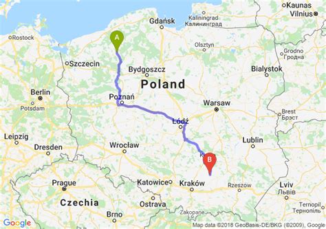
Location: Szczecinek 🌎
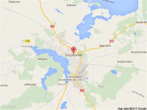
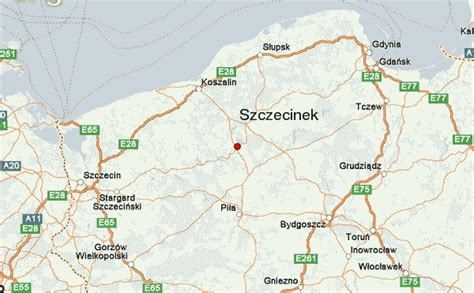
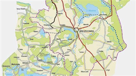
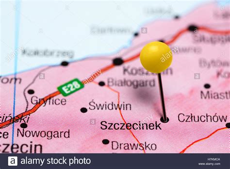
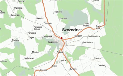
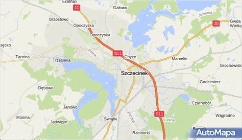
Location: Szczecinek, Poland
Administration Region: Zachodniopomorskie
Population: 38446
ISO2 Code: Zachodniopomorskie
ISO3 Code: POL
Location Type: Lower-level Admin Capital
Latitude: 53.7167
Longitude: 16.6833
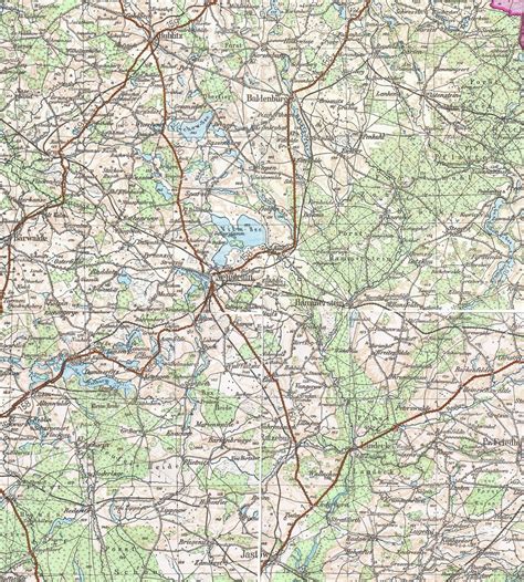
Szczecinek (Polish: [ʂt͡ʂɛˈt͡ɕinɛk] ; German until 1945: Neustettin) is a historic city in Middle Pomerania, northwestern Poland, with a population of more than 40,000 (2011). Formerly in the Koszalin Voivodeship (1950–1998), it has been the capital of Szczecinek County in the West Pomeranian Voivodeship since 1999. It is an important railroad junction, located along the main Poznań – Kołobrzeg line, which crosses less important lines to Chojnice and Słupsk. The town’s total area is 48.63 square kilometres (18.78 square miles).
The turbulent history of Szczecinek reaches back to the High Middle Ages, when the area was ruled by Pomeranian dukes and princes. The majority of the city’s architecture survived World War II and, subsequently, its entire Old Town was proclaimed a national heritage monument of Poland.

Top Szczecinek HD Maps, Free Download 🗺️
Map
Maps
United States
United States
World Map
China
China

