Location: Szentendre 🌎
Location: Szentendre, Hungary
Administration Region: Pest
Population: 27534
ISO2 Code: Pest
ISO3 Code: HUN
Location Type: Lower-level Admin Capital
Latitude: 47.7044
Longitude: 19.0686
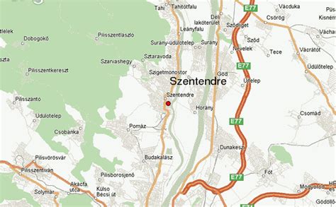
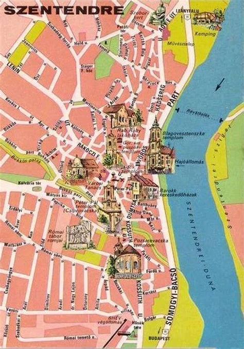
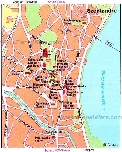
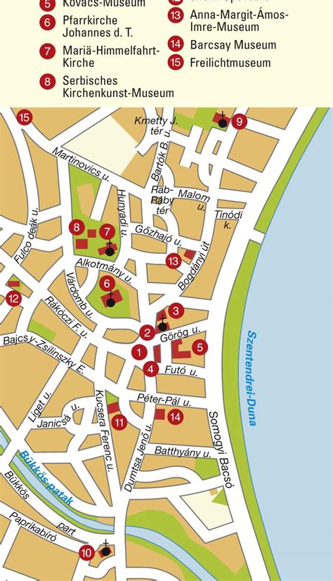
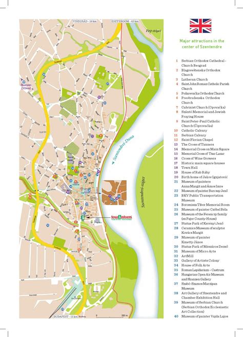
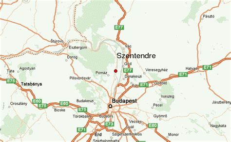
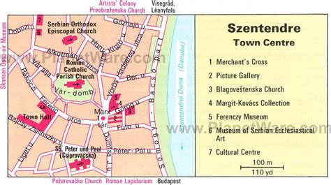
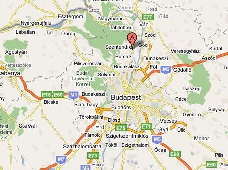
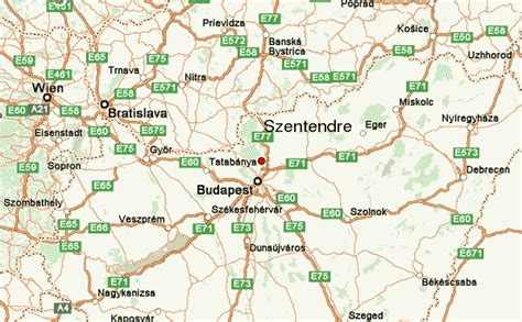
Szentendre (Hungarian: Szentendre) is a riverside town in Pest County, Hungary, between the capital city Budapest and Pilis-Visegrád Mountains. The town is known for its museums (most notably the Open-Air Ethnographic Museum), galleries, and artists.
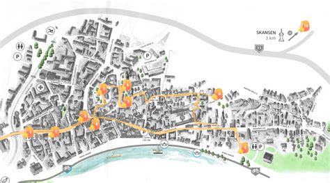
Due to its historic architecture and easy rail and river access, it has become a destination for tourists staying in Budapest. There are many facilities, including souvenir shops and restaurants, catering to these visitors.
![Szentendre Download Free HD Maps, Regions and Roads (Images & PDFs)](https://upload.wikimedia.org/wikipedia/commons/3/33/Blagovesztenszka-templom_%287351._sz%C3%A1m%C3%BA_m%C5%B1eml%C3%A9k%29_4.jpg)
Top Szentendre HD Maps, Free Download 🗺️
Map
Maps
United States
United States
World Map
China
China