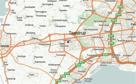
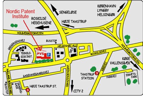
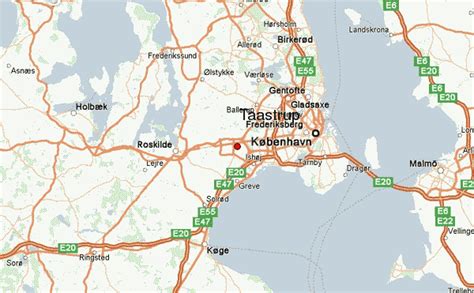
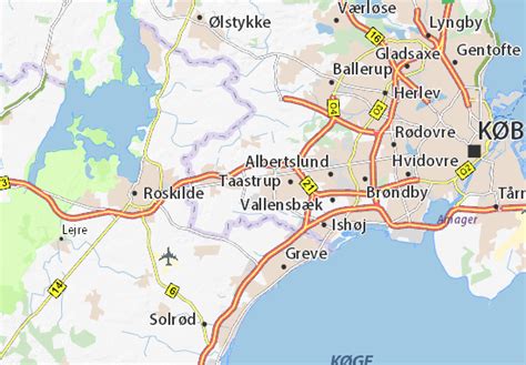
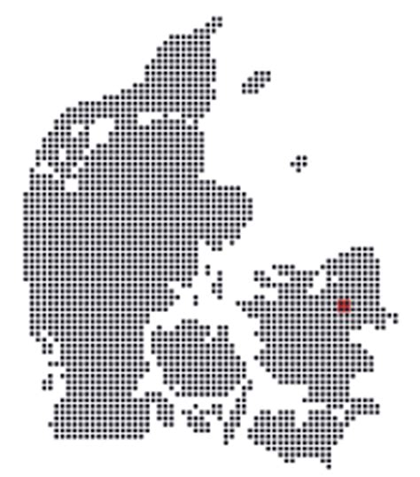
Location: Taastrup 🌎
Location: Taastrup, Denmark
Administration Region: Hovedstaden
Population: 35238
ISO2 Code: Hovedstaden
ISO3 Code: DNK
Location Type: Lower-level Admin Capital
Latitude: 55.65
Longitude: 12.3
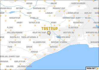
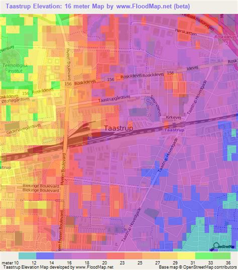
Taastrup (or Tåstrup) (Danish pronunciation: [ˈtsʰɒstʁɔp]) is a Danish railway town or/and suburb of Copenhagen – 18 km west of Copenhagens city centre. The town forms a twin urban area with neighbouring suburb Høje Taastrup, Taastrup rising since 1859 and Høje Taastrup rising west of the town, since the 1970’s. The town/suburb development has engulfed the villages of Taastrup Valby, Høje Taastrup, Kragehave and Klovtofte, although Høje Taastrup still has a preserved village character around Høje Taastrup Church. The town is the administrative seat of Høje-Taastrup Municipality, Region Hovedstaden; the seat placed in Taastrup first and since moving to Høje- Taastrup in the beginning of the 1980’s. In 2023 a new town hall was opened on 14th February.
The town is growing closer to the town of Hedehusene, both towns developing towards each other, and both situated in the municipality. The population on 1 January 2022 was 35,238 (excluding Hedehusene) .Taastrup took its name from its rise on the lands north of the village of Taastrup Valby. Taastrup Valby means “Valby by (Høje) Taastrup”, named “Taastrup Valby” to avoid confusion with other locations like Valby.
Top Taastrup HD Maps, Free Download 🗺️
Map
Maps
United States
United States
World Map
China
China
