Location: Ţabas 🌎
Location: Ţabas, Iran
Administration Region: Khorāsān-e Jonūbī
Population: 39676
ISO2 Code: Khorāsān-e Jonūbī
ISO3 Code: IRN
Location Type: Lower-level Admin Capital
Latitude: 33.5961
Longitude: 56.9281
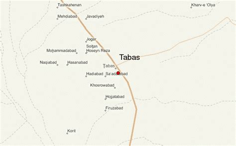
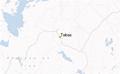
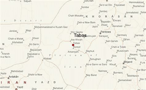
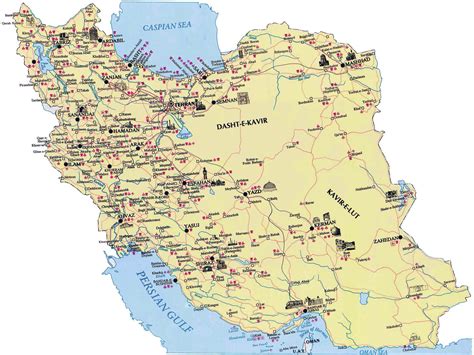
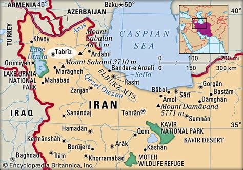
Tabas (Persian: طبس, also Romanized as Ṭabas), formerly known as Golshan, is a city in the Central District of Tabas County, South Khorasan province, Iran, and serves as capital of the county.At the 2006 census, its population was 30,681 in 7,962 households, when it was in Yazd province. The following census in 2011 counted 35,150 people in 9,903 households. The latest census in 2016 showed a population of 39,676 people in 11,876 households, by which time the county had been transferred from Yazd to South Khorasan province.Tabas is located in central Iran, 950 kilometers southeast of Tehran, in South Khorasan Province. At first, it was part of the Khorasan province, but in 2001, it was joined to the Yazd Province. However, in 2013, it was returned to Khorasan, and it became part of South Khorasan province. The name Khorasan means the land of the rising sun. There are two other places in Khorasan called Tabas, but the name Tabas usually refers to the city under discussion.
It is a desert city with many date and citrus trees. It has a 300-year-old public garden (Bagh-e-Golshan). There is also a shrine in Tabas that is visited every year by thousands of pilgrims. Tabas has two universities with 2,500 to 3,500 students. The city has hot summers, and people rarely see a winter snowfall.
The people of Tabas speak a Khorasani accent of Persian that sounds somewhat different from the standard Iranian version (“Tehrani accent”).
Top Ţabas HD Maps, Free Download 🗺️
Map
Maps
United States
United States
World Map
China
China
