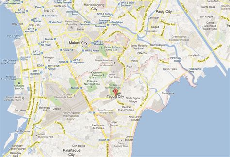
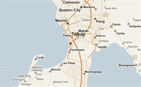
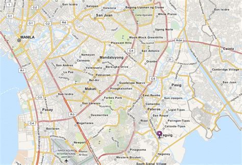
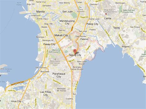
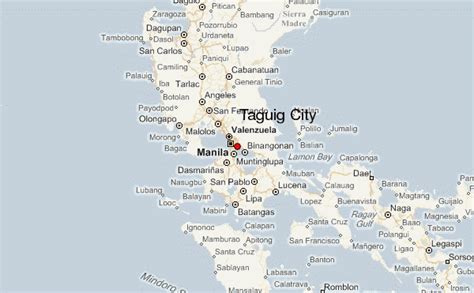
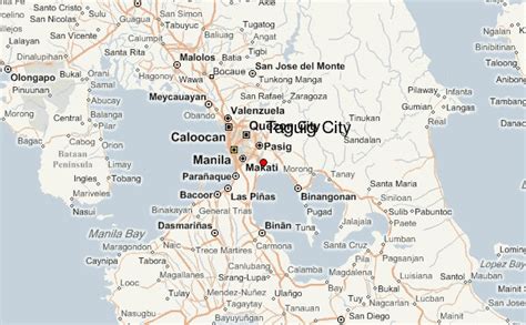
Taguig (Tagalog: [taˈɡiɡ]), officially the City of Taguig (Filipino: Lungsod ng Taguig), is a 1st class highly urbanized city in Metro Manila, Philippines. According to the 2020 census, it has a population of 886,722 people. Located in the northwestern shores of Laguna de Bay, the city is known for Bonifacio Global City, one of the leading financial centers of the Philippines. Originally a fishing village during the Spanish and American colonial periods, it experienced rapid growth when former military reservations were converted by the Bases Conversion and Development Authority (BCDA) into mixed-use planned communities. Taguig became a highly urbanized city with the passage of Republic Act No. 8487 in 2004.
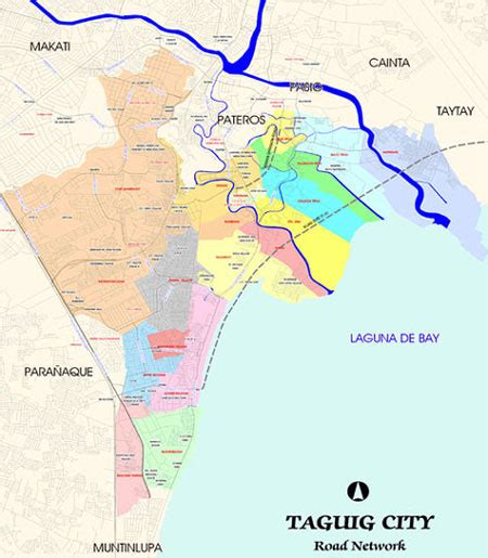
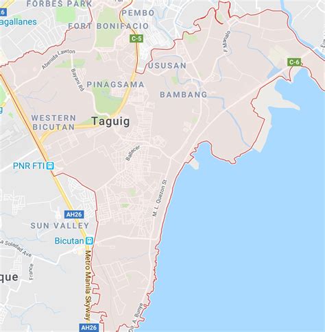
The city is politically subdivided into 28 barangays: Bagumbayan, Bambang, Calzada, Central Bicutan, Central Signal Village, Fort Bonifacio, Hagonoy, Ibayo Tipas, Katuparan, Ligid Tipas, Lower Bicutan, Maharlika Village, Napindan, New Lower Bicutan, North Daang Hari, North Signal Village, Palingon Tipas, Pinagsama, San Miguel, Santa Ana, South Daang Hari, South Signal Village, Tanyag, Tuktukan, Ususan, Upper Bicutan, Wawa, and Western Bicutan. The city is also divided into two legislative districts: Pateros & Taguig (which includes the Municipality of Pateros) and Taguig, for its representation in the Congress and the election of city council members.