Location: Tai’an 🌎
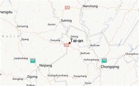
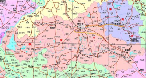
Location: Tai’an, China
Administration Region: Shandong
Population: 5494207
ISO2 Code: Shandong
ISO3 Code: CHN
Location Type:
Latitude: 36.2558
Longitude: 117.1075
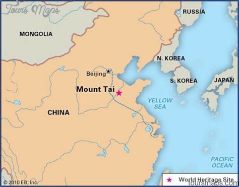
Mount Tai (Chinese: 泰山; pinyin: Tài Shān) is a mountain of historical and cultural significance located north of the city of Tai’an. It is the highest point in Shandong province, China. The tallest peak is the Jade Emperor Peak (simplified Chinese: 玉皇顶; traditional Chinese: 玉皇頂; pinyin: Yùhuáng Dǐng), which is commonly reported as being 1,545 meters (5,069 ft) tall.Mount Tai is known as the eastern mountain of the Sacred Mountains of China. It is associated with sunrise, birth, and renewal, and is often regarded the foremost of the five. Mount Tai has been a place of worship for at least 3,000 years and served as one of the most important ceremonial centers of China during large portions of this period. Because of its sacred importance and dramatic landscape, it was made a UNESCO World Heritage Site in 1987. It meets 7 of the 10 evaluation standards of World Heritage, and is listed as a World Heritage site that meets the most standards, along with the Tasmanian Wilderness World Heritage Area in Australia.
An earthquake or thunderstorm occurred in Mount Tai in 1831 BC or 1652 BC, also known as Mount Tai earthquake. This event was first recorded in the Bamboo Annals, and at present, it is recognized by most scholars as the first recorded earthquake in Chinese history.

Top Tai’an HD Maps, Free Download 🗺️
Map
Maps
United States
United States
World Map
China
China


