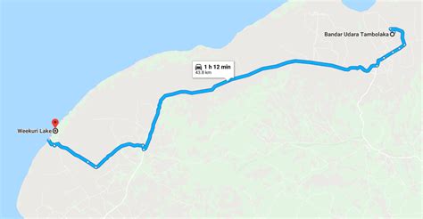
Location: Tambolaka 🌎
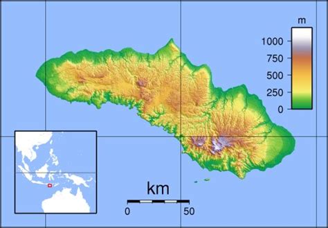
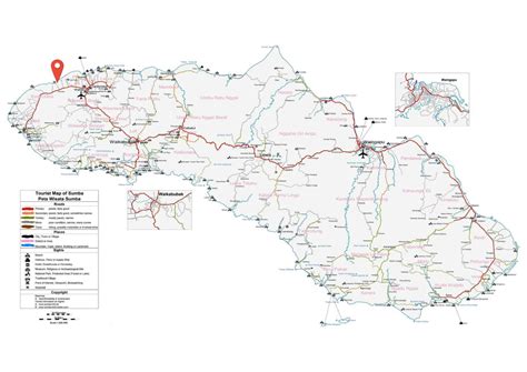
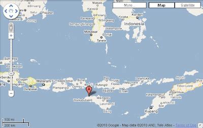
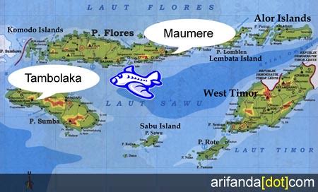
Location: Tambolaka, Indonesia
Administration Region: Nusa Tenggara Timur
Population: 35790
ISO2 Code: Nusa Tenggara Timur
ISO3 Code: IDN
Location Type: Lower-level Admin Capital
Latitude: -9.4333
Longitude: 119.2333
Kota Tambolaka (Tambolaka city) is the administrative capital of the Southwest Sumba Regency (Kabupaten Sumba Barat Daya), on the island of Sumba, East Nusa Tenggara province of Indonesia. Tambolaka was in fact the name of the airport, the real former name of the city being Waitabula (sometimes written Weetabula).
Top Tambolaka HD Maps, Free Download 🗺️
Map
Maps
United States
United States
World Map
China
China
