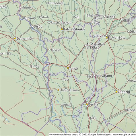
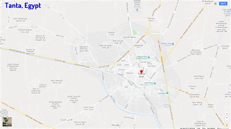
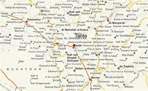
Location: Ţanţā 🌎
Location: Ţanţā, Egypt
Administration Region: Al Gharbīyah
Population: 429503
ISO2 Code: Al Gharbīyah
ISO3 Code: EGY
Location Type: First-level Admin Capital
Latitude: 30.7833
Longitude: 31
Tanta (Egyptian Arabic: طنطا Ṭanṭa pronounced [ˈtˤɑntˤɑ], Coptic: ⲧⲁⲛⲧⲁⲑⲟ) is a city in Egypt with the country’s fifth largest populated area and 658,798 inhabitants as of 2018. Tanta is located between Cairo and Alexandria: 94 km (58 mi) north of Cairo and 130 km (81 mi) southeast of Alexandria. The capital of Gharbia Governorate, it is a center for the cotton-ginning industry. One of the major railway lines goes through Tanta. Annual festivals are held in Tanta for one week beginning on 11 October celebrating the birthday of Ahmad al-Badawi, a revered Sufi figure of the 13th century, who founded the Badawiyya Tariqa in Egypt and is buried in Ahmad Al-Badawi Mosque, the main mosque of Tanta. Tanta is known for its sweet shops and roasted chickpeas.

Top Ţanţā HD Maps, Free Download 🗺️
Map
Maps
United States
United States
World Map
China
China


